CharliePlett
MapperAccount aangemaakt op 20-10-2016

The Nerdiest Cartographer in Belize
My Profiles
- WikiBelize.org
- (Neis) Personal Stats | (Neis) Top 500 in Belize
- OSM Forum | OSM Community | OSM Help | OSM Wiki
- KartaView | Mapillary
Telegram Groups
Belize | Central America | Global | Global Off-topic
Useful Mapping Tips
-
Use the 'F' key in ID and JOSM to follow another line of nodes while mapping an area.
-
Use the spacebar to draw a line following your mouse in ID.
-
Use the 'Shift+C' keys in ID or 'Ctrl+B' in JOSM to merge lines or to merge an area into another area. If you draw a line inside an area you can combine them to create a hole in the polygon if you use proper inner and outer tags.
-
Install the buildings plugin on JOSM to quickly draw square or circular buildings and using 'X' key to extrude areas quickly.
-
admin_level=7 for cities, 8 for towns, 9 for villages, 10 for hamlets, neighbourhoods, suburbs, etc.
-
Click here to join a Google Drive Folder containing maps of Belize. Streets, addresses, etc.
Objects tag completion in Belize
100% of roads have surface tags.
63% of woods has a leaf_type tag
21% of farmland has a crop tag.
Total of areas in Belize
Sources found here. Ohsome
<table> <tr> <th>Buildings</th> <th>Woods</th> <th>Streams</th> <th>Rivers</th> <th>Coastlines</th></tr> <tr><td>157,000</td> <td>4,300 sq. km.</td> <td>3,823 km</td> <td>2,643 km</td> <td>2,416 km</td></tr> <tr> <th>Meadow/Grassland</th> <th>Wetland</th> <th>Farmland</th> <th>Scrub</th> <th>Residential/Commercial/Industrial</th></tr> <tr><td>1,012 sq. km.</td> <td>624 sq. km.</td> <td>530 sq. km.</td> <td>488 sq. km.</td> <td>181 sq. km.</td></tr> </table>A list of my accomplishments
A table of villages where I've mapped buildings. link
I started mapping landuse in Belize in 2017 and finished it on September 2, 2023. Shoutout to Tubroos who mapped about 15% of the landuse mainly in the Corozal and Orange Walk districts.

It took me quite a while to map every single island in Belize. One of the toughest challenges was Ambergris Caye with it's countless lagoons and islands.

Not every single building in Belize is mapped, that would be nearly impossible with the occasional satellite update, however I did map every building I could in every village and in the countryside. I didn't focus too much on the cities because those get mapped by other mappers. The most buildings I mapped was in San Pedro Town at over 4,000. I currently have a building mapped count of 48,000 out of 177,000 in the country.

I have been to almost every place in Belize thanks to having been a salesman for 10 years. So when i decided one day to tag every road surface I simply checked if all the paved and concreted roads were tagged and then downloaded all roads that didn't have surface tags in JOSM and simply tagged all remaining roads with surface=unpaved.
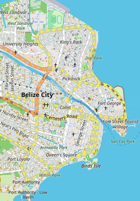
I have started mapping landuse in surrounding counties in Mexico and Guatemala.

I mapped the landuse of Melchor de Mencos Department on November 9, 2023
I achieved 2,000,000 map edits on January 20, 2024
I mapped the landuse of the island of Utila, Honduras in April of 2024
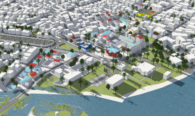
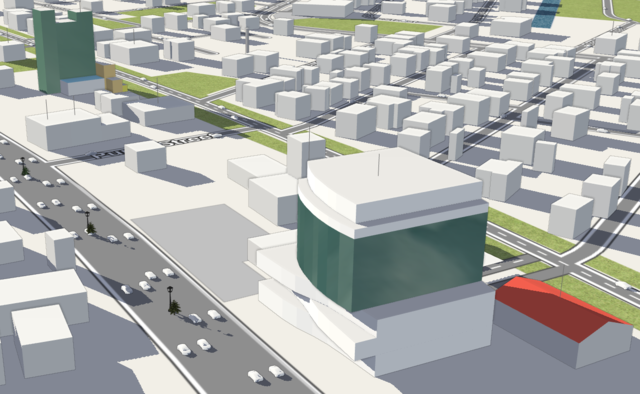
I've dabbled a bit with 3D mapping in Belize City.
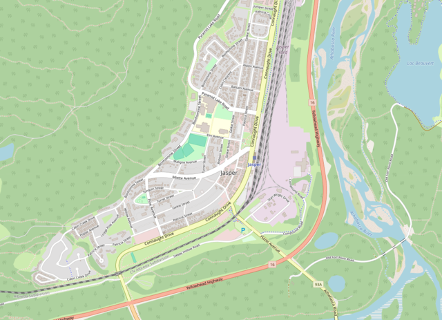
I mapped all the buildings and surrounding landuse in Jasper, AB, Canada after part of it sadly burned to the ground in July of 2024.
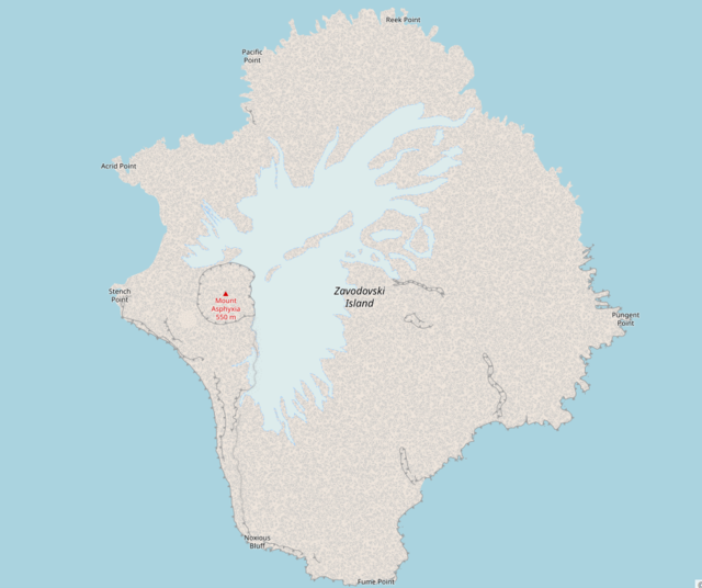
Here are some other places I've mapped landuse from around the world.
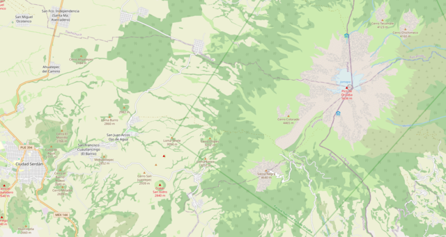
Mount Orizaba, Mexico and surrounding area.
