
Mapping a large urban area in its entirety is quite a rare task.
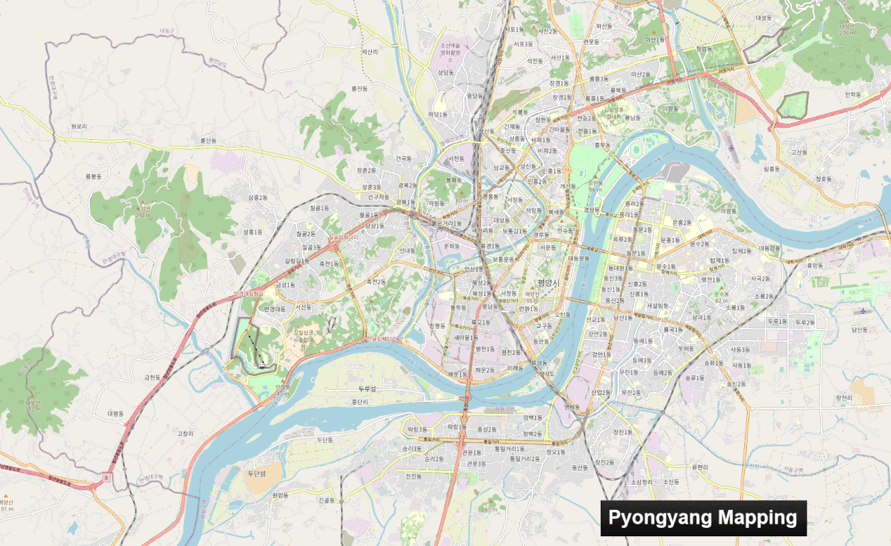
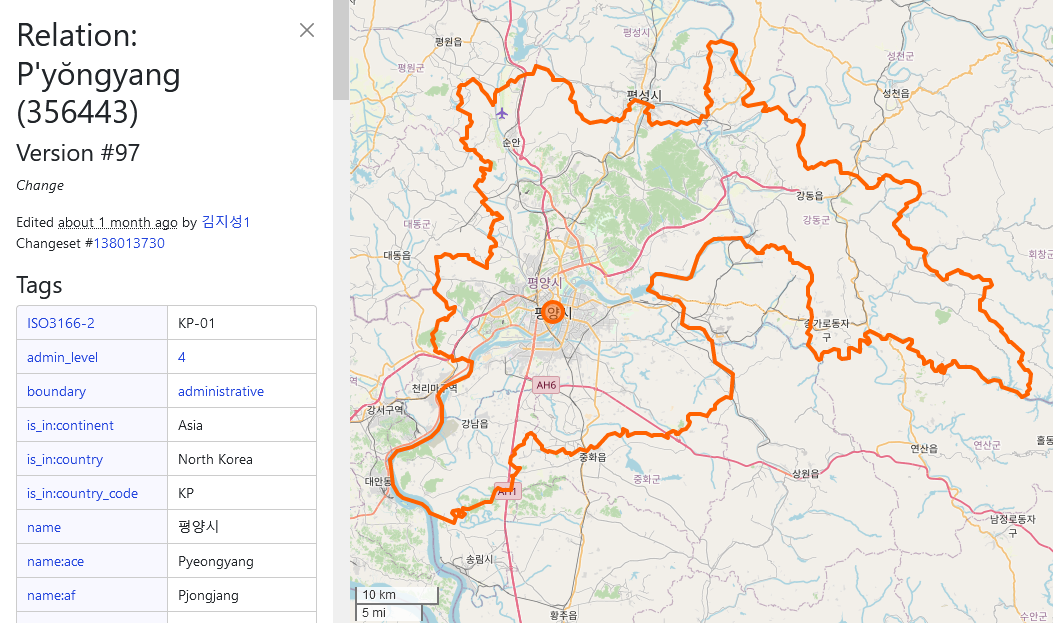
Pyongyang, the city I mapped, is an urban area 15km wide by 12km long. It took me over a year from April 2022 to May 2023 to complete, particularly the buildings and roads. But I’m really pleased with the result: just look at the state of the map!
Mapping a capital in its entirety is rare, and for several reasons:
-
Firstly, because all the major urban areas in the West have already been mapped. This leaves the countries with the fewest contributors, whose capitals may already have POIs… but rarely all the buildings and roads.
-
Secondly, because you need a good amount of motivation, when you’ve reached the 60,000th building and you’re still halfway there… well… you have to hang in there! I also think it’s hard to imagine embarking on such a lengthy mapping project. Imagine if you wanted to undertake a project like this for Hanoi… unfortunately it can be discouraging from the outset.
But mapping by small parts, by neighbourhood, is a method that worked quite well for me, so maybe it will work for others!
In short, there are still many capitals to be mapped on these basic themes! But getting started, and above all keeping going, is a fairly difficult task because you need to stay motivated. If you do, hang in there!
Mapping Pyongyang
Beginning of the idea
When I started mapping in North Korea and writing the contribution guide to the country (cf. my previous diary) I never thought I’d be embarking on such a task because… it’s a capital in fact! It’s big, it never stops, it’s long, you never see the end of it! But in fact it is ;)
But I didn’t start mapping in North Korea by saying to myself “I’m going to map the whole capital”. In fact, for a long time I never even thought about it. In fact, it’s a project that’s taken place in several stages.
I started by mapping the small towns of Kowon and Kumya. Then I continued with medium-sized towns, such as Nampo western part — the eastern part of Nampo was done by Dwaalgast a very, very good contributor — and Kaesong, which are respectively the 4th and 9th largest town in the country.
A tweet, the trigger
Then one day, when I saw a tweet showing a map of a new district of Pyongyang (a district built in 2015, which in April 2022 was still not on the map…), I said to myself, “Yes, damn it! Why hasn’t anyone mapped this district right in the centre? This motivated me to map it, which was done fairly quickly in one, two changesets of April 2022! Then the person who had made the tweet accused me of having stolen his map, because this person (a researcher) didn’t know how mapping on OSM worked. I then had to talk to her to explain.
In the end, this enhanced what I consider to be a hobby on the Internet. I came to say to myself “what I do has a real value”. That really motivated me!
Mapping by small area, by district
That’s when I realised that it wasn’t just this new area in the city centre that wasn’t mapped, it was also the Songhwa area. (April 2022)
And the island in the centre too! (April 2022)
And the central district, the Phyongchon district, there was everything to do! (mid-May 2022)
And now why not tackle the big 1980s district, Tongil Avenue, in the south of Pyongyang, which hasn’t been done either! (end May 2022)
And the district to the west, Kwangbok, also needs to be done! (early June 2022)
And it was only at this point that I thought I might be able to map the whole of Pyongyang. That it was possible, and that I was motivated enough to do it.
Complete mapping
Then it’s a question of time, the whole undertaking took 1 year and 1 month. I took a lot of breaks. There were times when I was more motivated, so progress came in fits and starts.
Take a look at this GIF of the mapping progress. It’s approximate but gives a good idea of how long it took to complete each zone.
An incomplete task
In reality, I’ve gone back over certain areas several times and it’s still not perfect! I’ve noticed that among the first areas I’ve done there are a lot of small buildings that I haven’t mapped. So I’ll have to go over a bit more, but as the Maxar imagery hasn’t been working since the beginning of July 2023, I’ll do it at another time.
Continued
Today I’m still mapping Pyongyang and I’d also like to do more precise mapping (areas of grass, trees, street lamp, etc.). There’s still a huge amount to map, even more if you look at the scale of Pyongyang province, where all the other towns and rural areas are missing. I haven’t finished yet!
Conclusion
Completing an area as large as a capital city requires a great deal of patience and, above all, motivation. It may be more appropriate to have fun improving just a small part of a city than to undertake to do everything straight away. The risk is that you’ll stop very quickly and become very demotivated, or even disgusted with cartography if you force yourself to do it.
In my opinion, it’s better to tackle small areas rather than trying to do everything.
What’s more, even if you stop at a small area, it’s not a big deal - it doesn’t prevent anyone from doing other areas later on. That’s the power of the OSM project: everyone can do what they want, if they want, at the pace they want!