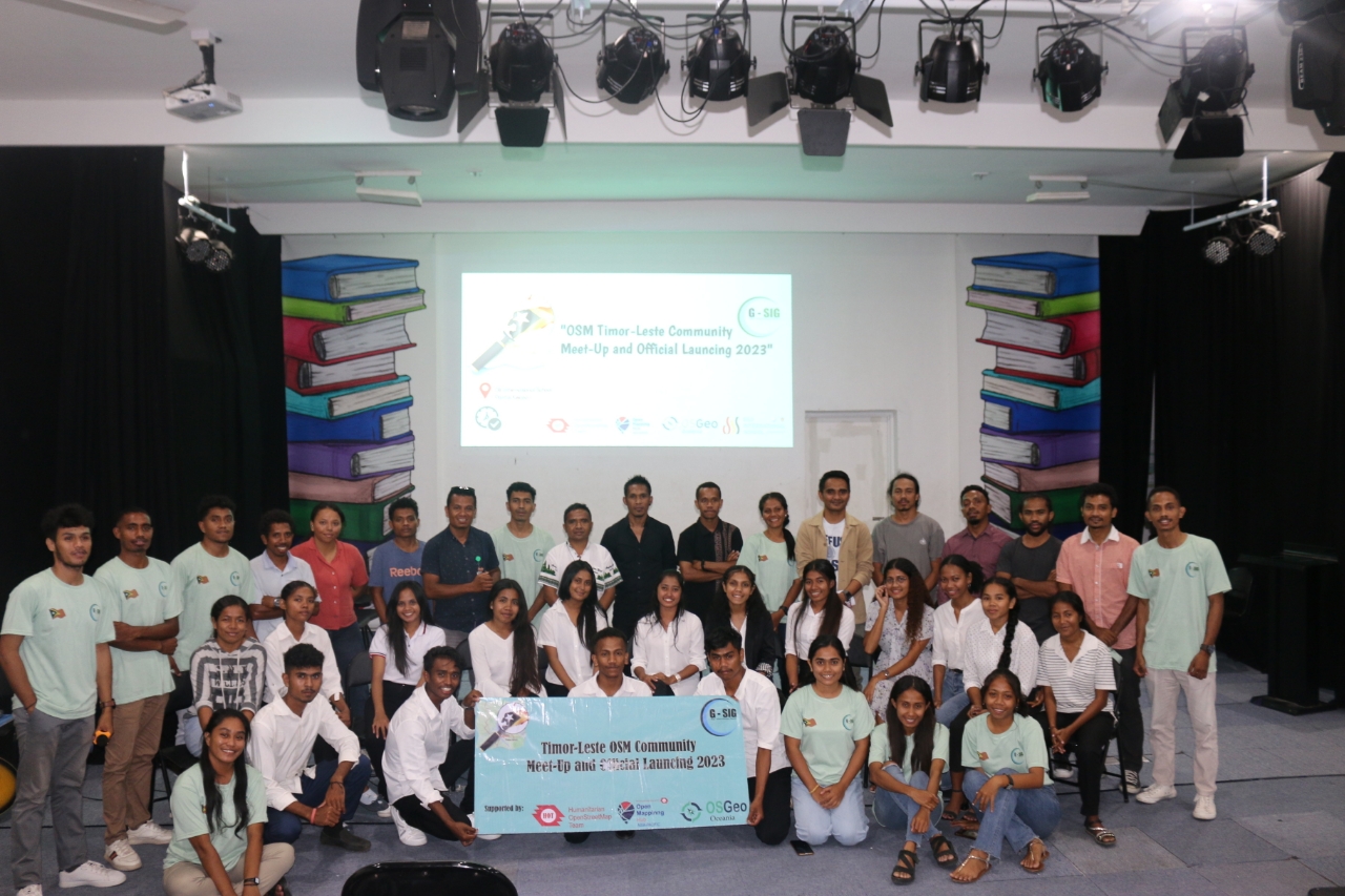
Hii beloved OSM Mappers, 18th November, 2023 is a signifies momentous occasion for Timor-Leste as we officially launched the > Timor-Leste OpenStreetMap Community with the Association of Geographic Information System in Timor-Leste. We extend our sincere appreciation to all the esteemed presenters whose insights and perspectives have enriched this launched session, shedding light on the significance and advantages of open-source platforms like OSM.
 Figure 1: We are happy in celebration our community is launched.
Themed for this event is "OSM Community Meet-Up and Official Launching 2023", this event stands as a pivotal part of our year-long OSM activities, inviting diverse voices to converge, share advice, and collectively drive the development of OSM in Timor-Leste.
Our Timor-Leste OSM Community is dynamic, dedicated to open mapping principles, and committed to leveraging open-source software and web platforms. We aim to involve all Timorese people in utilizing, maintaining, and updating geospatial data through OpenStreetMap.
This significant event witnessed the participation of various representatives from the government, Hub, and NGOs, including Open Mapping Hub - Asia Pacific Mr. Harry Mahardika, DNMG Timor-Leste , as well as prominent NGOs such as World Vision, Red Cross Timor-Leste, Climate Centre Representative in Timor-Leste, Similie, Laudato Si, International Conservation Timor-Leste, academic mentors from UNTL, and several volunteer organizations actively involved in OpenStreetMap initiatives within Timor-Leste.
 Figure 2: Community OSM Timor-Leste meet-up members active and responsible structure in community.
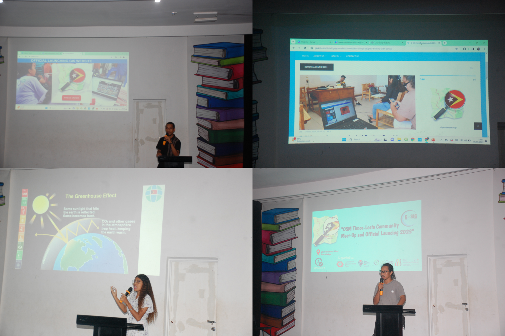
The presentations showcased diverse applications of OpenStreetMap data aligned with specific needs. Mr. Harry Mahardika share with us how OSM community benefits for Timor-Leste and their region and how to successfully developing our OSM community in Timor-Leste. DNMG underscored the benefits of OpenStreetMap across four critical domains: Disaster Management, Education, Healthcare, and Tourism, highlighting numerous other advantages for our nation, Timor-Leste.
The Climate Center illustrated how OSM data can proactively aid in mitigating various disasters through anticipatory actions. Similie, a Timor-Leste-based NGO specializing in AI development, demonstrated the correlation between artificial intelligence and disaster management and OSM data. Additionally, Laudato Si presented pertinent information on climate change in Timor-Leste, elucidating its impacts, mitigations, and adaptations concerning climate change in Timor-Leste.
 Figure 3: Our esteemed orator in presentation during our launched event.
The primary objective of this community launch is to center our efforts on mapping in Timor-Leste using open-source platforms like OpenStreetMap, uMap, QGIS, and others. Through this launch, we aim to attract enthusiastic members interested in mapping activities in Timor-Leste and collaborate with global individuals, agencies, or organizations keen on advancing open mapping initiatives in our country.
We extend heartfelt gratitude to the Open Mapping Hub - Asia Pacific , in partnership with the Humanitarian OpenStreetMap Team (HOT), and OSGeo Oceania for their unwavering support toward this event. A special acknowledgment goes to Dili International School for their invaluable venue support. We deeply appreciate the dedication of all organizers and mappers for your esteemed presence and support today.
We are excited to contribute to mapping and further the development of OpenStreetMap in our beloved country, Timor-Leste. Let us unite and map together.
If you want to learn more about this community or support our mapping and community initiative, please do not hesitate to contact us through these links:
Facebook: G-SIG Timor-Leste
Linkedin: G-SIG Timor-Leste
E-Mail: geopetrountl2019@gmail.com
We are looking forward to working with you.