
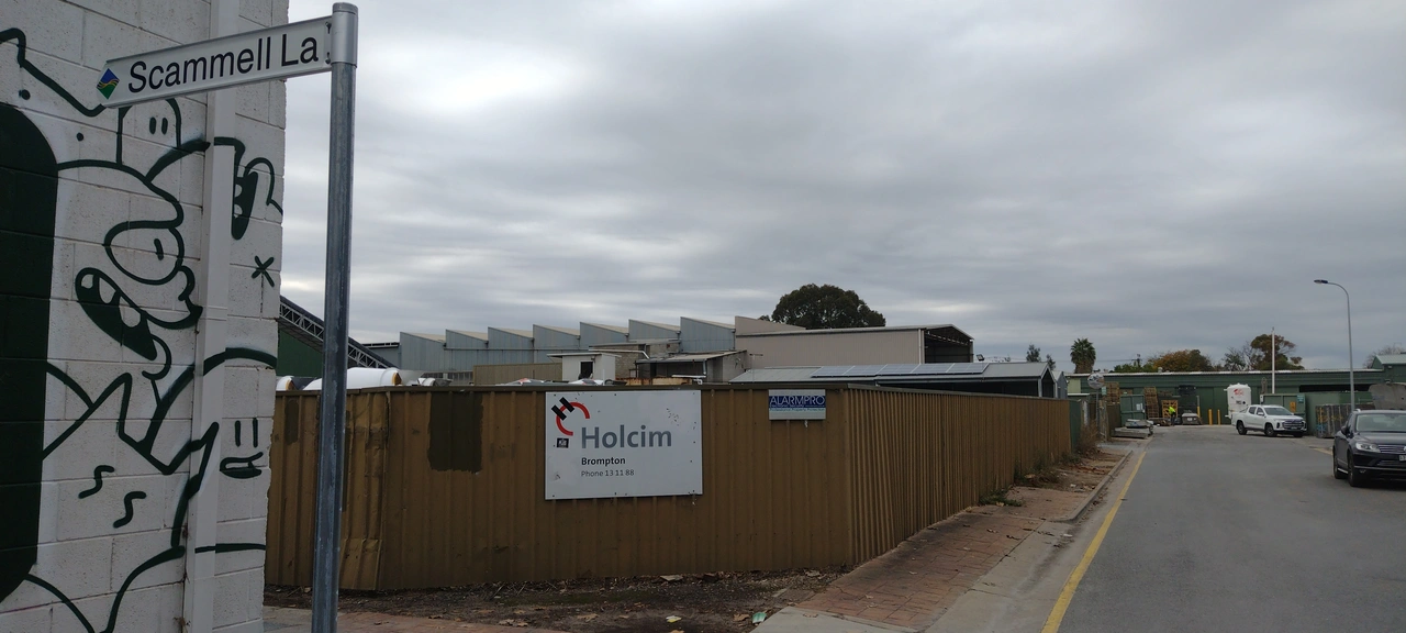
We all know that you should never map for the renderer and you should only map what is on the ground. But I think I’ve found the third sin, changing the ground to match the map. This nine year old way is a service lane with a name, but doesn’t give a source for the name. Doing a survey showed no signs and historic photos show it as without signs. So I contacted the local council, City of Charles Sturt and asked if they could erect signs, which they have.
I don’t feel the least bit guilty. 😊😊😊