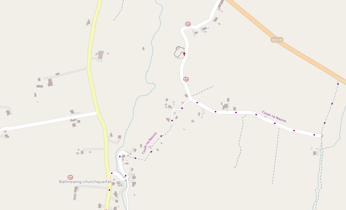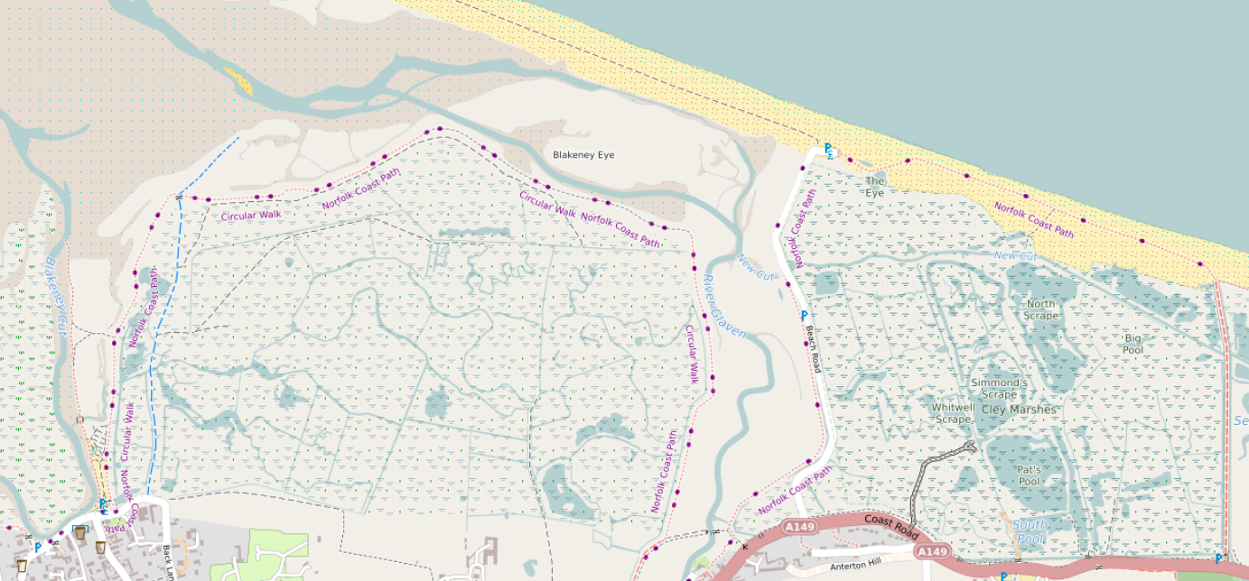
Tidal and non-tidal wetland
A major rewrite here takes into account tags such as natural, reef, wetland, surface and tidal before deciding how to show wetland areas. See the picture above, which is here, and here in OSM.
The beach between high and low tide can be clearly seen here (in OSM, here). There are blue dots in the sand rather than black. A deliberate decision was taken to show more detail for areas above low tide. See e.g. here between Wales and the Wirral (see here in OSM).
Island and islet names
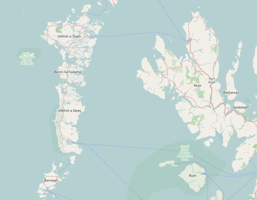
Island and islet names are shown based on their size. Try going here and then zooming out - small island names disappear first, with the larger ones such as Skye disappearing much later.
Width of rivers and streams
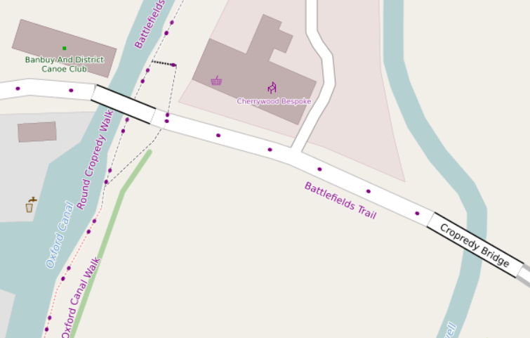
Many rivers and streams don’t have water areas mapped for them, which means that maps have to decide what to do at higher zoom levels. The Cherwell on the right on the picture above is an example of that. For rivers and canals, I’ve tried to match what “the actual width of a small river” might be. For an example, see here just up-river from the previous picture. At high zoom levels, the river’s width is about the same fraction of the bridge length. If you look at the imagery here you’ll see that the width is about right.
The same principle is applied to streams, drains and ditches, although of course they are narrower.
Cycle routes, National Byway etc.
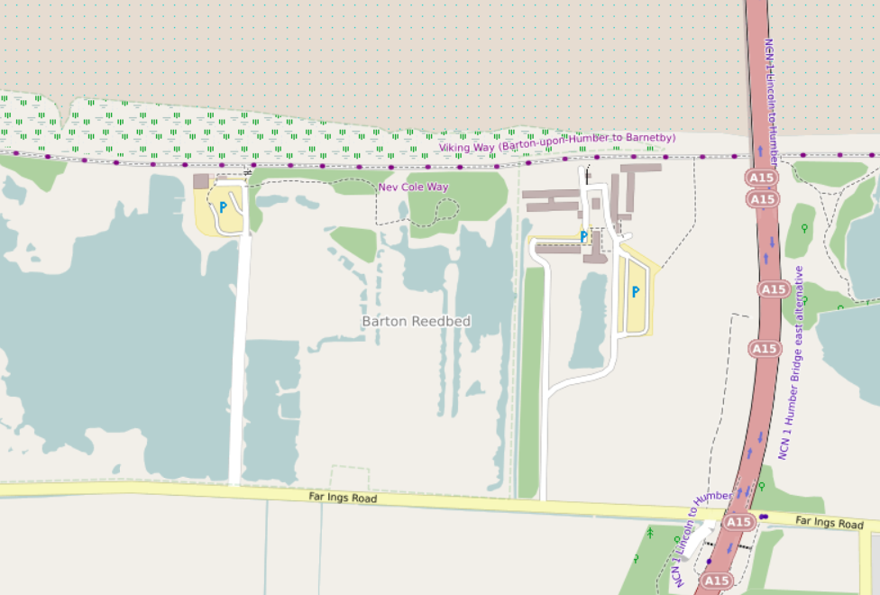
Long route “names” are a challenge in OpenStreetMap. I’ve used various methods to try and suppress these, but it’s not always successful. In the screenshot above you can see this part of the Viking Way which aparently is named “Viking Way (Barton-upon-Humber to Barnetby)”, and this cycle route called “NCN 1 Humber Bridge east alternative”. Thankfully, some examples can be special cased:
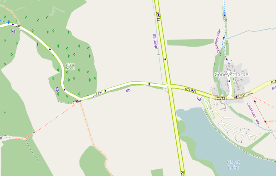
Here the main National Byway and one of the loops have been detected and display using just “NB” and “NB (loop)”, which is essentially what appears on the signs - the signs do not say (in this example) “Malton Loop”.
I’ve also tried to distinguish national and regional routes:
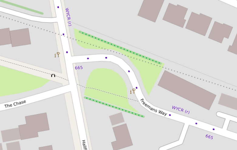
Here the National Cycle Network route 665 and the regional West Yorkshire Cycle Route can be seen - the regional route has an “r” appended to the name. Options for other distinguishing features are limited - colour is used to tell the difference between foot, horse and cycle routes already.
Lots more historical icons
The historic key is an absolute goldmine, if you sidestep the “unhelpful” keys (such as “yes”). These maps are created for Britain and Ireland, so I’ve concentrated on getting values used in Britain and Ireland shown. This has been a bit of a challenge - objects under this key include palaeontological sites like this, archaeological and historic sites from many periods, many different archaeological site types. Many are fortifications, of many different types. Many ancient sites cross over between uses (for just a taster of some of the issues, see here), so deciding how to show them can be a bit of a “choose your own adventure”.

What I’ve ended up with can be seen here. There are about 50 currently - scroll to the right to see them all!
Archaeological features incorporate four vertical posts in the icon, along with (say) a ring for a ringfort and a hill for a hillfort. Ringforts can be tagged in at least four different ways and hillforts five (that I’ve found so far), so deciding what goes in what bucket is a challenge. Other features also try and use variations on a theme (on a “standard tower”, on a building, on a church, or on a stone).
Hopefully the result fits in well with the rest of the landscape:
