
My previous diary entry looked at the UK section of this OSM wiki page. A commenter there noticed that neither the wiki table nor my analysis covered highway=track (covered here) or highway=service (left for later).
We’ll use the same approach as before. Essentially, that’s this urban area (and this when looking at designation), and this rural area.
It’s useful to look at designation because that tells us what some of the access values should be, and also local authority data about public rights of way such such as visible in this overlay. We’ll therefore ignore ways in OSM with designation set but look to see if any of our examples “should” be designated as a public right of way.
Another thing to consider is things where legal access rights are “unusual”. For example, I suspect that this is legally some sort of road. According to this it’s not a public right of way such as a “byway open to all traffic”; I suspect that it’s actually legally a road, even though the signage is at best confusing. In this example, see also this changeset in OSM. Other examples of “this is probably legally a road” are indicated by “unsuitable for motors” signs - although in most vehicles you probably wouldn’t want to ignore that advice!
Some of these legal oddities are sometimes referred to as “Unclassified County Roads (UCRs)” (or similar). See here (pdf) for a document from Devon. As to what vehicular access rights there are, that guidance is about as solid as the muddy surface of some of the examples.
Some things that are public rights of way might not be explicit about what sort of right of way - these may be signed on the ground as just “public right or way”; OS maps sometimes show them as “Other Routes with Public Access (ORPAs)”. For (much!) more info, see a blog post here.
Another thing we can use to infer access is if e.g. a long distance cycle route runs along somewhere. Sustrans have negotiated permssive access for both foot and bicycle traffic to a number of places like this.
Land managed by Forestry England often allows permissive foot, bicycle and horse access along roads and tracks, signed at each entrance. I can’t comment on what the equivalent Welsh situation is.
track, urban
There’s nothing in the wiki table for track so we’ll need to provide answers for all transport modes.
https://overpass-turbo.eu/s/1Pa4
https://overpass-turbo.eu/s/1Pa6
https://map.atownsend.org.uk/maps/map/map.html#13/53.9616/-1.0920/O/P
Looking at those, the vast majority are actually private. Some are genuinely unknown (even following survey), a couple are permissive, and a couple (such as here are actually foot=yes rather than the foot=permissive that is actually signed on the ground. However, in this urban area, “most tracks are private” is broadly true.
track, rural
https://overpass-turbo.eu/s/1Pa8
https://overpass-turbo.eu/s/1Pa9
https://map.atownsend.org.uk/maps/map/map.html#13/54.2766/-0.8819/H/P
One thing to note is that there are a lot of these. I’ve cross-referenced a few examples only here. Another is that the match between what the local authority think are PRoWs and what actually exists on the ground is not 100%. Where I’ve been involved in mapping areas myself (e.g. here) I’ve tried to reconcile “which path must match which PRoW”.
With regard to motor vehicle access (of any sort), the only rural examples that are are possibly =yes or =permissive are the “these are actually probably roads” examples mentioned above such as here (mentioned earlier) and also Spaunton Lane here. One caveat though is that according to the LA there appear to be very few “byways open to all traffic” at all in this area, so the unmapped number of those is also low. This will vary elsewhere of course.
Summarising that for here, the vast majority of tracks without explicit access signage in this area do genuinely appear to be private with regards to motor traffic.
With regard to foot traffic for the same list I think that it’s safe to assume that the “actually probably roads” ones are at least foot=permissive, and probably =yes. Quite a lot of this area is Access Land via the CRoW Act; foot access there will be yes (anywhere across the land, not just on tracks). Elsewhere, from experience I can say that foot access to some farm tracks will be tolerated if it’s low-volume and local; but there are other examples where even legal access via PRoWs is discouraged (and sometimes illegally prevented).
To summarise the above for foot traffic, if you can’t figure out what the access rights should be you should probably assume private. The big caveat here is that “figuring out what the access rights should be” might be difficult in less well-mapped areas, as it involves knowing about any missing public footpaths and bridleways, access land, Forestry England land, Sustrans cycleways and UCRs
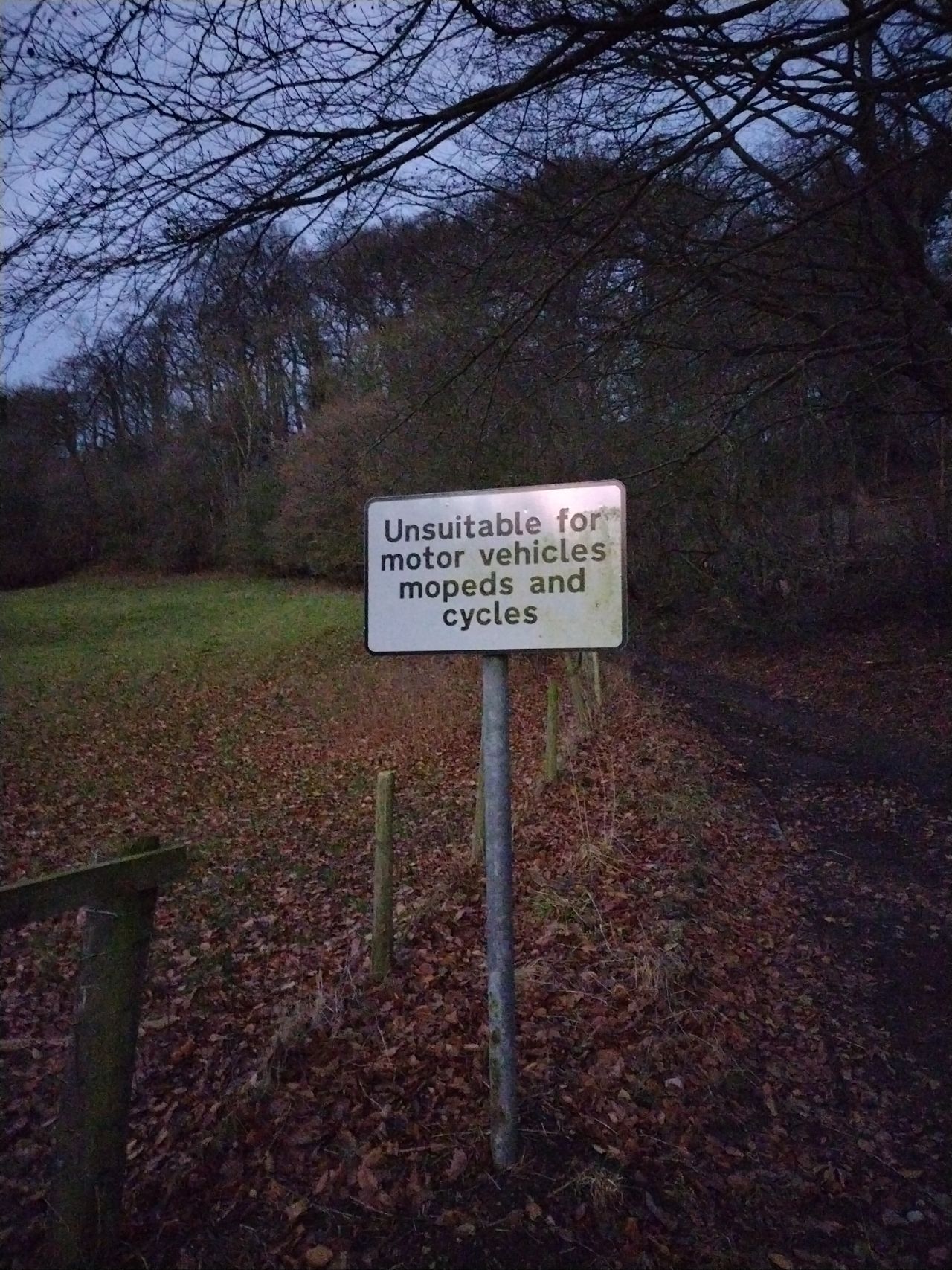
Moving on to horse and bicycle, the argument is much the same as foot, but with fewer designations implying horse or bicycle access. A curiosity is this sign on this track saying “Unsuitable for motor vehicles mopeds and cyclists”. Based on the other on the ground signage I suspect there is legal cycle access here, despite the sign.
However, again in summary, if you can’t figure out what the access rights for horse or bicycle should be, you should probably assume private. The same “big caveat” as above applies - it’ll be difficult to do that in less well mapped areas.