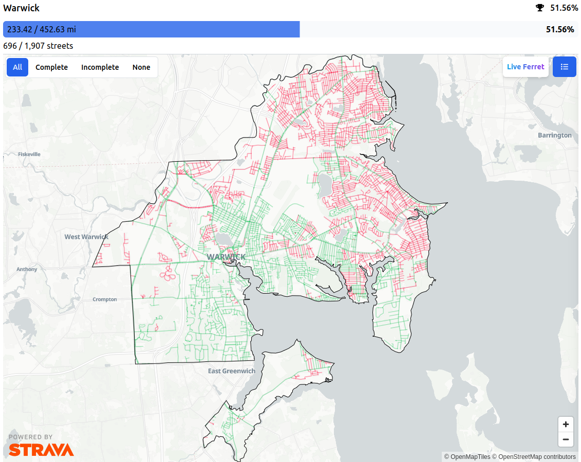
I operate StreetFerret, a site that shows runners, walkers, and cyclists which streets they’ve visited in a city or town. StreetFerret works by taking a user’s Strava activity data, and comparing it to OpenStreetMap map data to decide which streets they’ve completed.
For example, this is my StreetFerret map of Warwick, Rhode Island (USA):

OpenStreetMap is an awesome partner for StreetFerret because as the map gets updated, StreetFerret can update its street data too, within about a week. For someone trying to run, walk, or bike every street in their city, they don’t want to get their map to 99%, they want to get it to 100%! So, when they encounter a street that’s wrong in StreetFerret, they are motivated to edit OSM, which makes StreetFerret AND OpenStreetMap better at the same time. StreetFerret users have corrected OSM data countless times in pursuit of 100% completion.
One day, StreetFerret user and US Navy lieutenant Paul Johnson approached me at our local run club in Newport, Rhode Island. He was planning to attempt to break the world record for running across the United States - 3,000 miles from Los Angeles to New York City in less than 40 days and raise $1 million for mental health awareness.
And thus, pauljohnson.run was born, along with the StreetFerret run tracker.
As of this writing, Paul is on day 2 of his transcontinental journey, somewhere between San Bernadino and Palm Springs, California.
Paul’s run - and the StreetFerret run tracker - appeared in a spot on the local TV news in Los Angeles today!
I’m excited to see how OpenStreetMap data supports real people doing real things to make the world better, one step at a time.