
Taking a brief look at the Croatian country side, one will notice that lots of the tracks/paths end without an exit. Additionally, when navigating at location, one will realize that only a fraction of such highways exist on the map.
How to plan a route for exploring?
The amount of exploration sections should reflect one’s physical capabilities. In the beginning about one exploration per route should suffice and can be increased through practice and knowledge of the area. One shouldn’t bite off a bigger chunk before one can handle it.
In this example of about 16km route
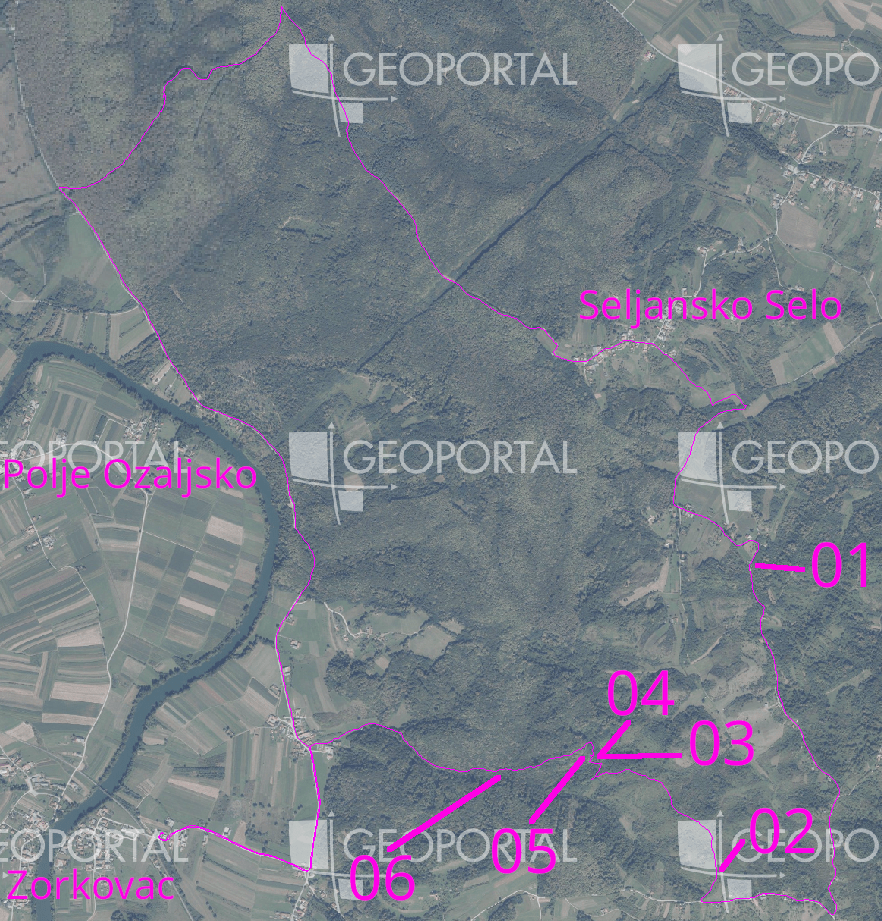
I chose one exploration section every 5km in such a matter that not more than 500m of distance was needed to be explored.
There was one section in the north that was an easy gravel highway connection,
one in the east as a grass track,
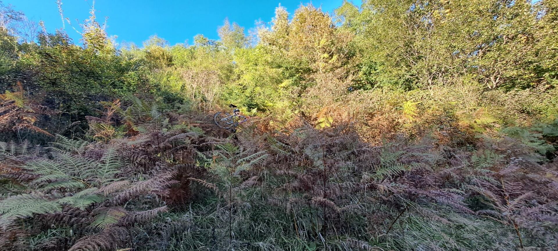
and one in the south that was a dead end (03-05).
What to expect on the route?
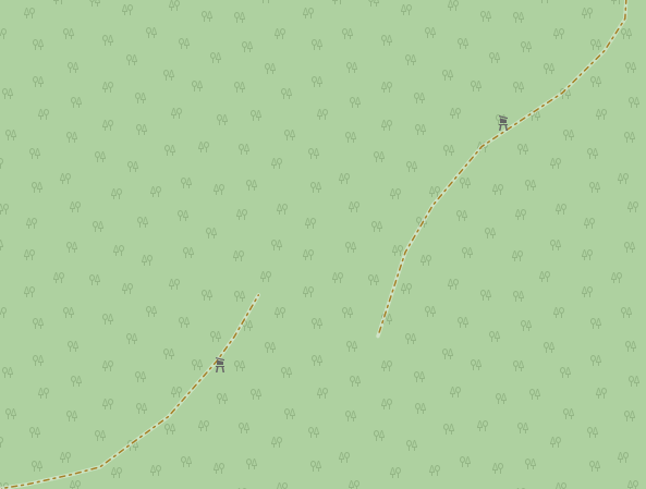
Depending on the route on can be lucky by getting a well marked highway with no major physical barriers. Or one can be unfortunate and end up at a dead end.
In such cases, one can either turn around or dig into one’s adventurous side and tackle the obstacle at hand. This happened to me between 03-05.
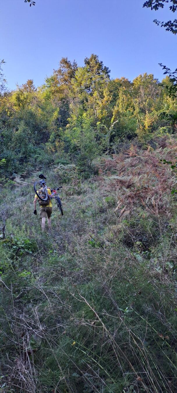
One can expect to tackle many forms of plant matter from the soft ferns to the prickly nettles and black berry bushes.
Further one can use the helmet and bike to press away the plant matter to ease the possible injuries to oneself. Gloves will help a lot!
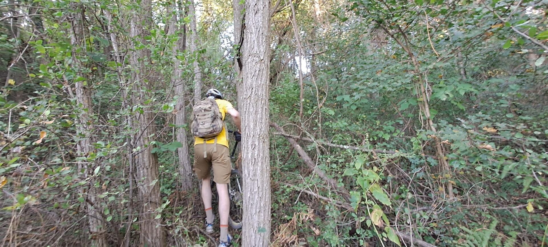
And sometimes one needs to be creative of what the easiest way is to proceed.
It took a good hour to traverse those 100m between the two paths.
What gear should one take?
If exploring via bike, then obviously the bike and helmet.
Further - applies to hiking as well - gloves, sturdy shoes, thicker clothing to mitigate prickly plants, gloves, offline map, headlamp with extra batteries, extra layers of clothing, some food/snacks, and potentially a first aid kit.
What details are important to map?
The noexit = yes tag is important to add to such highways to inform the next explorer that there is no chance of getting anywhere further.
Further, adding path starts with the final node having the fixme = continue? tag. This shares a potential exploration route.
It is also wise to share the fixme = missing GPS data onto a highway, because often one can estimate where such highways exist through an impression line of forests/woods/scrubs. Though it could also just be a stream, so in person investigation is needed.
Want more pictures?
More pictures can be found on Pixelfed.