About
As a part of Project NOAH’s mapping initiative, a team was sent to Region 1 for another installment of the OSM and Capacity Assessment Workshop. From 6-13 November 2016, planning and preparation for the workshop proper were done. Project NOAH sent a team with six personnel, who served as lecturers/speakers and proctors for the said activity.
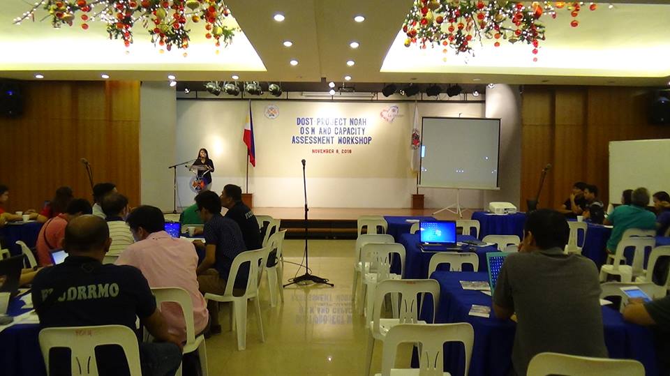
The workshops’ goal is to engage Local Government Unit officials in helping Project NOAH build a disaster resilient Philippines. Since NOAH has long embraced public participation to improve emergency response and disaster mitigation throughout the country, it is but proper to take this crowdsourced and collaborative effort to the ground, thus, to the LGUs’ jurisdiction.
The schedule of the workshop was as follows:
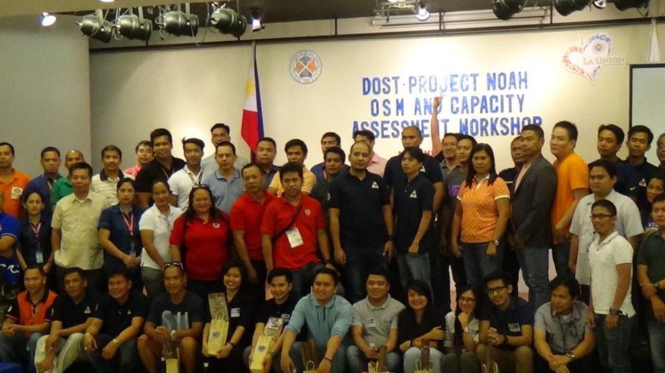
November 8, 2016 in La Union with 57 participants (La Union Provincial Hall, San Fernando, La Union)
November 10, 2016 in Ilocos Sur with 57 participants (Baluarte Auditorium, Vigan, Ilocos Sur)
November 11, 2016 in Ilocos Norte 43 participants (Liga ng mga Barangay Office, Town Plaza, Bacarra, Ilocos Norte)
OpenStreetMap Workshop
The workshop is an introduction to the OpenStreetMap platform; it focuses on the critical facilities mapping on OSM using Java OpenStreetMap (JOSM). Many of the participants already have knowledge on the use of Geographic Information System softwares like QGIS since they come from DRR, planning, and engineering offices.
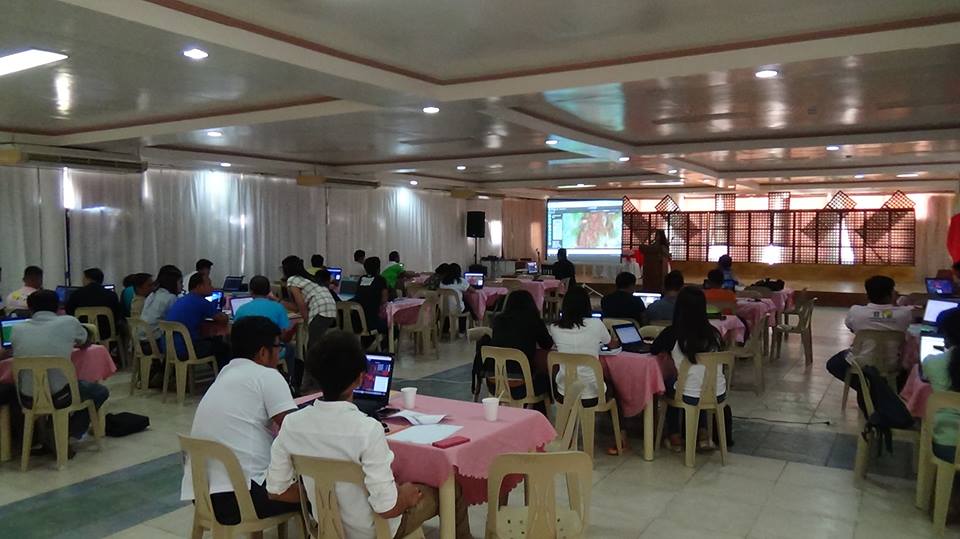
Participants were given time to digitize the critical facilities related to disaster risk reduction and management on OSM. They were introduced in the use of mobile mapping field data collection applications through the use of Smartphone applications such as OsmAnd for Android and Go Map!! for iOS. They were also taught on using Field Papers, and extracting data from OSM for use in GIS softwares.
Participants
Four months before the target workshop dates, the Project NOAH sent and forwarded emails inviting the DRRM Officers of Ilocos Norte, Ilocos Sur, and La Union through the provinces’ governors.
Indeed, DRRM Officers, and even officials from other local government agencies (PNP, BFP, DOH, DILG, DSWD, among others) were present in each workshop. All of which helped in identifying their communities’ critical facilities, presented their Comprehensive Landuse Plans (CLUP), and in turn pinpointed their areas’ imminent risks.
Through the activity, NOAH was able to help harness the geographical contributions of the volunteers/participants who were engaging enough that they helped Project NOAH in looking for solutions heavily involved damage assessment and analysis activities before, during, and after large-scale emergencies.
Activity Results
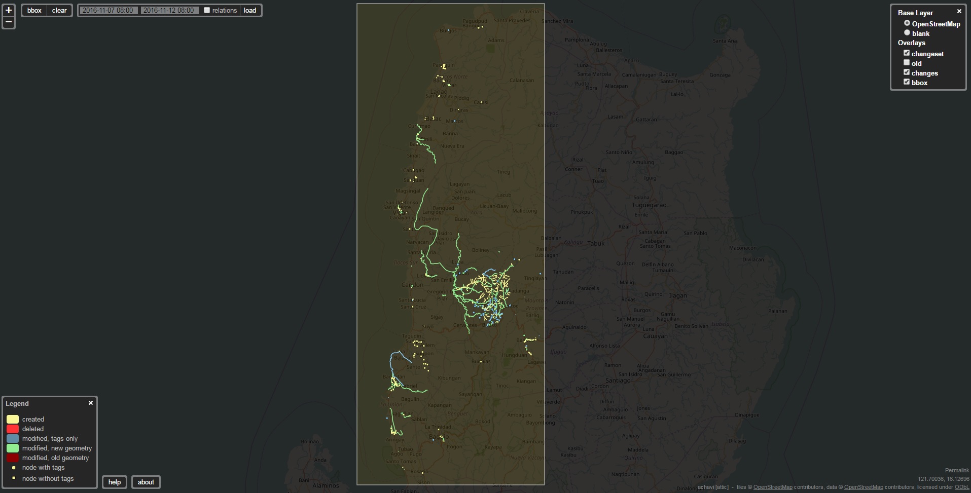 The image shows the edits of the workshop participants from Ilocos Norte, Ilocos Sur, and La Union in their respective provinces on the workshop dates.
LA UNION – November 8, 2016
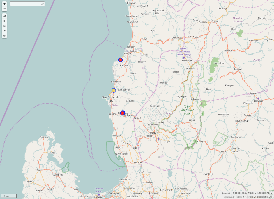 During the workshop in La Union, 67 points of interests (POIs), 2 lines, and 21 polygons were added. The edits are mostly in their hometowns and their neighborhoods.
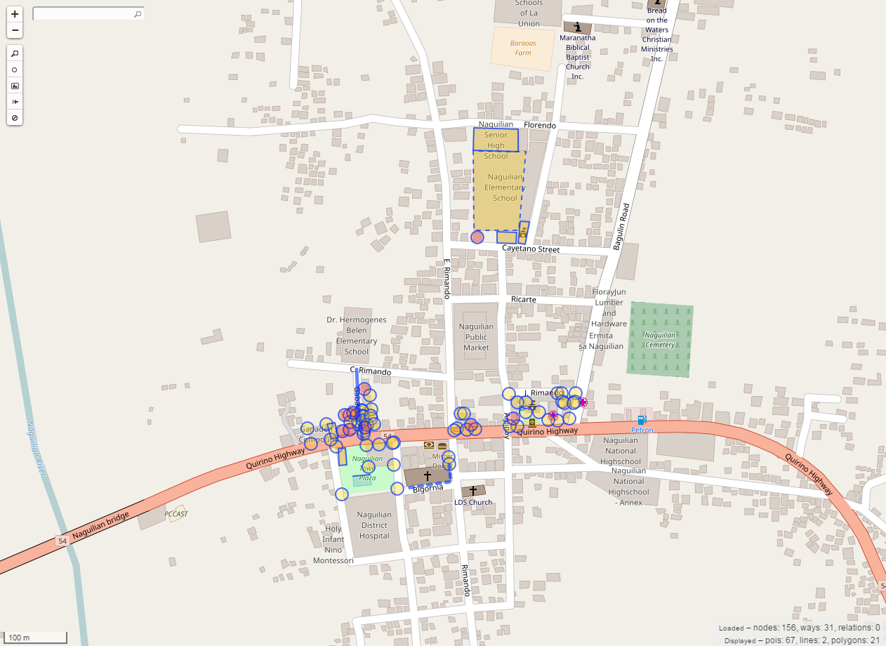 The highlighted objects are the new features that were digitized in Naguilinan, La Union by the workshop participants.
ILOCOS SUR – November 10, 2016
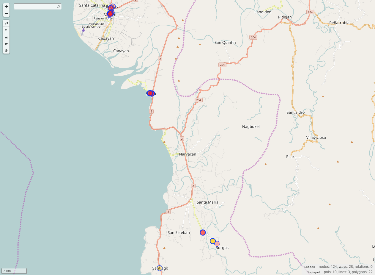 The workshop participants from Ilocos Sur added 10 points of interests (POIs), 3 lines, and 22 polygons in their province, particularly Vigan, Santa, and Burgos.
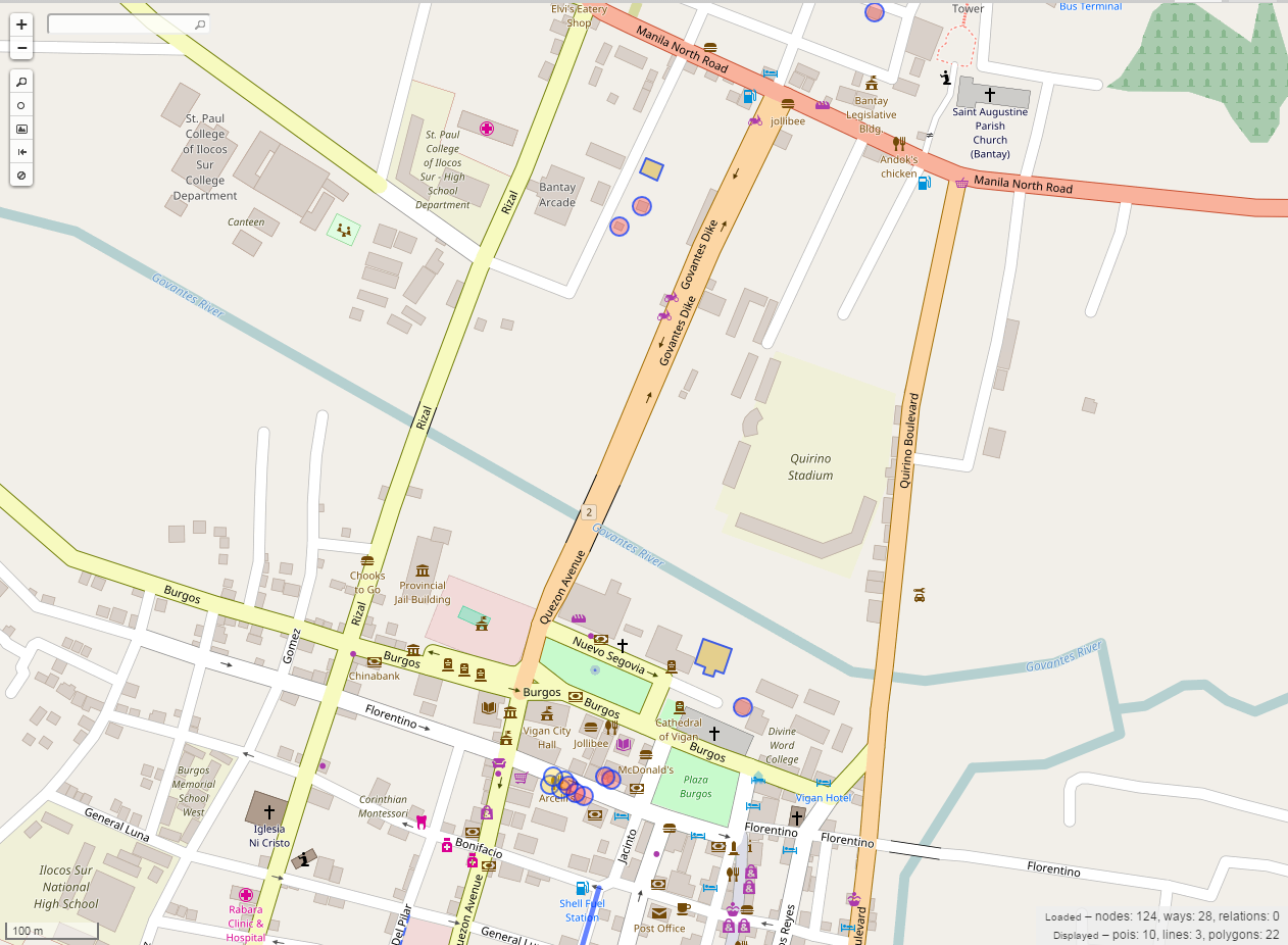 The highlighted objects are the newly added features in Vigan, Ilocos Sur.
ILOCOS NORTE – November 11, 2016
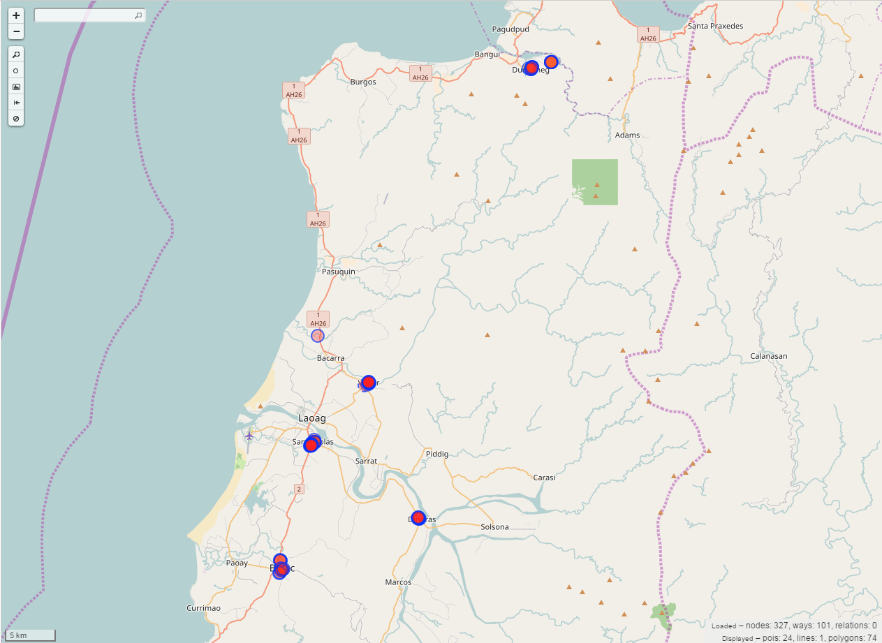 The workshop participants were able to add 24 points of interests, 1 line and 74 polygons in Ilocos Norte, particularly Dumalneg, Bacarra, San Nicolas, Batac and Dingras.
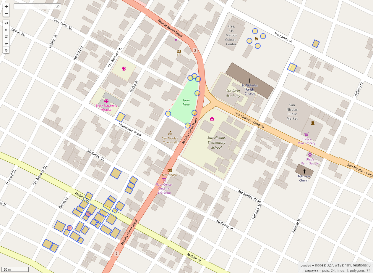 The highlighted objects show the features that were added by the participants in San Nicolas, Ilocos Norte.
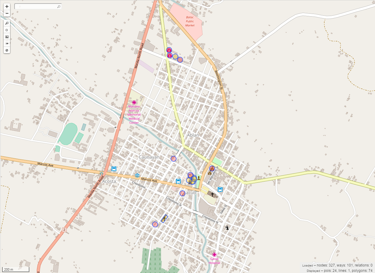 The highlighted objects are the features that were digitized by the participants in Batac, Ilocos Norte.
Problems Encountered
Most of the problems encountered were technical, just as:
-
Poor internet connection
-
Compatibility of participants’ laptop
-
Printer jammed during the Ilocos Sur workshop
However, NOAH staffs were able to address these issues efficiently and effectively and the workshops went well.
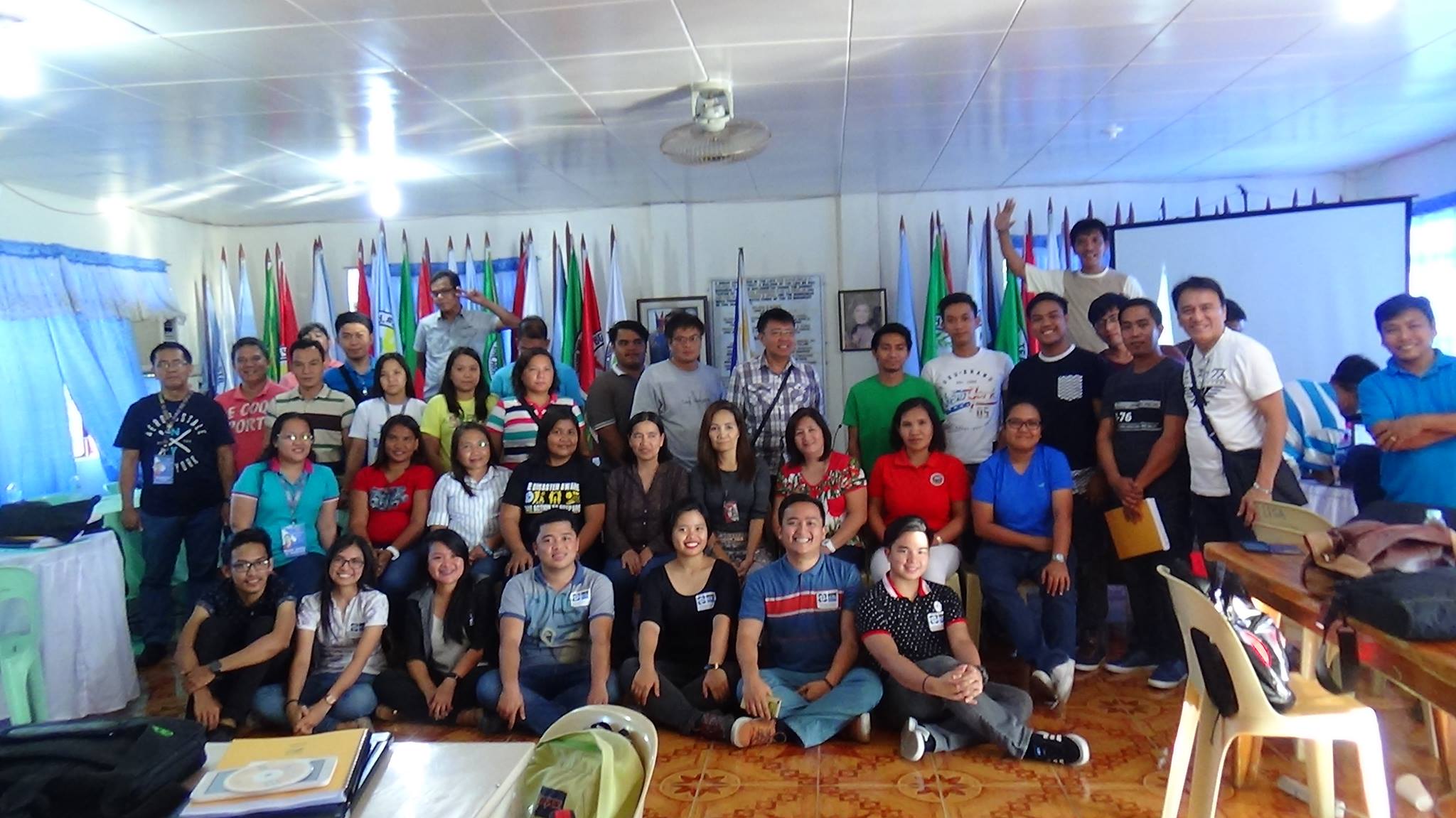
Training Team
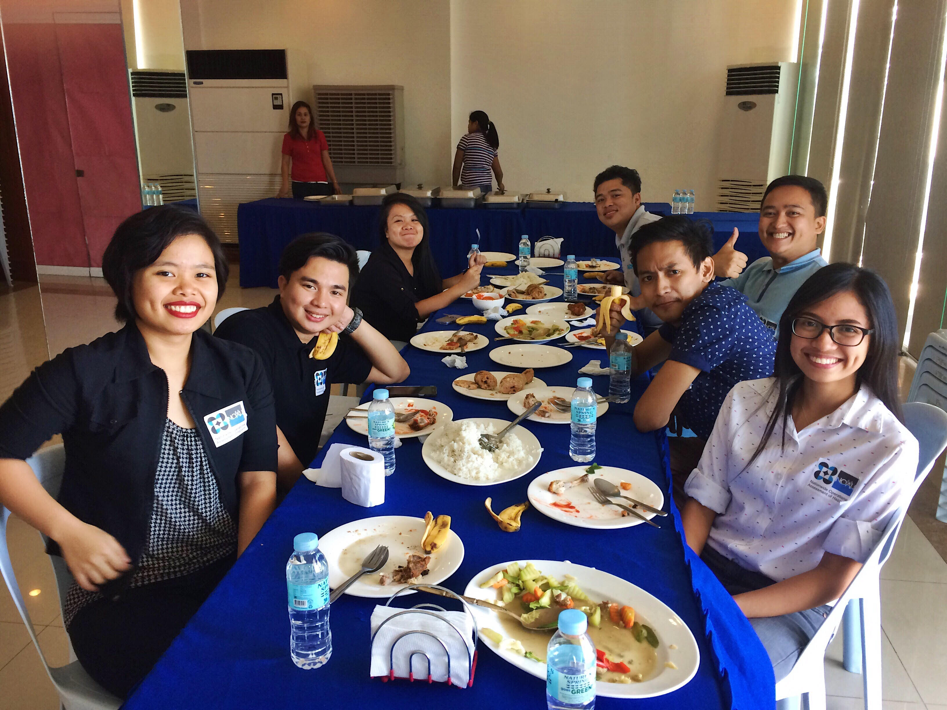 From left to right: @arnalielsewhere, @wherehavejobyn, @neyziellexrrc_, @Joems Manong, @BakiRamos, @cloud5, @feyeandal