
Lately I’ve been going for field survey day in day out. These day I spend most of my time on field survey using maps for field verification, collection of Point of interest (POI) data, land use zoning and obviously for public participatory mapping. Since 2018, there is no day that I had not worked or engaged with map. After I was introduced to this beautiful and addictive OpenStreetMap (OSM), I became a consistent OSM Mapper and a volunteer. While looking back, I felt I made right choice engaging in the field of OSM. From beginner curious mapper to Humanitarian OpenStreetMap Team (HOTOSM) Global Validator & being HOTOSM & OpenStreetMap Foundation(OSMF) Voting member, I’ve came a long way.
Today out of nowhere, I wanted to write something about my latest updates on use of OSM data and it’s diverse applications that I practice along with various data quality issues. It’s been more than 3 years that I’ve been making an edits on OSM and now rather than making edits I mostly focus on data quality. As a result, my engagement on validation, checking edits on OSM, and quality data assurance check became my priority. I feel awful when I remember the days I couldn’t use OSM data that do exists in my study area but are of unacceptable quality. Use of such data will be like “Garbage in Garbage out”. So realizing this I devoted my most of the times making quality edits.
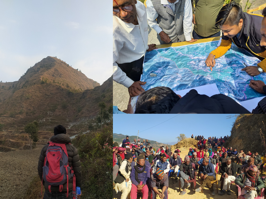
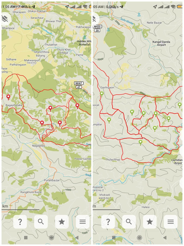
These day I get a call and hear name of some unheard place of rural Nepal and the interesting thing is I will be there tomorrow with my weapon, I mean printed Maps. Before field visit, I prepare myself reviewing the site location and load kml file of study area in Organic Maps. Yes, I use mobile applications like Organic maps which is completely offline and also use other application Every Door while travelling from place to place in rural Nepal which are totally unknown and unexplored. If I find any amenities and POI in the organic map then that’s by luck. So every time, I travel those places, I explore every hamlets and villages, and add amenities on OSM. I use Organic maps to add POI when there is no cellular network and in case of cellular network, I use Every Door to add POI. Organic Maps have its own drawback so to overcome those I use Every Door.
Meanwhile, while using Organic Maps, I try to visualize the field data and terrain with that of OSM. Interestingly, I find various ambiguous mapped features. I would like to share them in this blog and discuss about the data quality which is also the purpose of writing this blog.
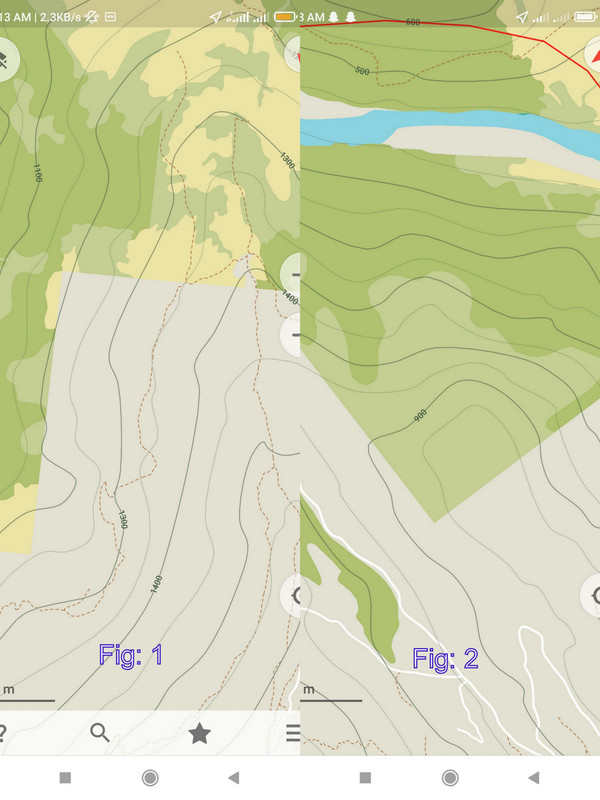
Fig(1) and Fig(2) are the snaps taken from Organic Maps. These are the locations within Nepal and such type of haphazard land use are created on OSM. While visiting the actual field and relying on those data big problem occurs. Because of no proper cellular and wireless network in most of the part of rural Nepal, we rely on these offline maps. We plan and navigate our route relying on the traced paths in OSM cause we barely find residential area to ask for help. And when we travel in search of some residential area on OSM, it turns out to be forest or some other area but not residential area with human settlement. Then it feels awful to contribute everyday on OSM and when needed we feel like OSM is betraying us. So, I request all the mappers may it be beginner or advanced, please analyze the imagery more carefully and map precisely. The pro and con of OSM is that it is free and editable, anybody can add their edits and it can be uploaded without any approval. So, my appeal to all mappers- let’s take a moment and map the boundaries of land uses and features more precisely.
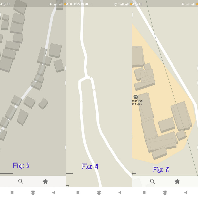
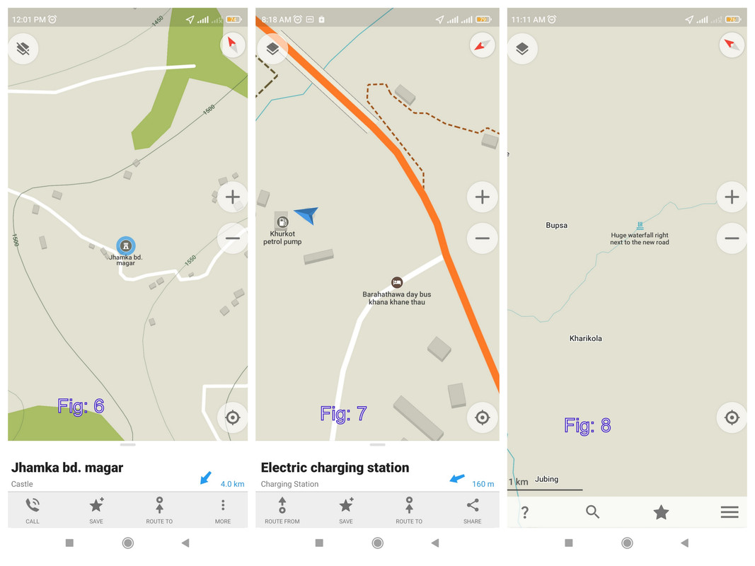
Similarly, Fig: 3 shows that highways are passing through buildings which cannot be true right? So, minor errors like these creates various problems during analysis and raises the question Do we really need to rely on these data? And Fig:4 is the representation of unconnected nodes while Fig:5 is the representation of duplicated buildings. These are just minor errors apparently visible on Organic Maps. Because of unconnected nodes/paths there is an issue of routing while using applications like Organic Maps. I find this app is widely used for navigation by travelers, hikers and if routing become an issue then what’s the point of relying on these applications.
And the other common issue that I’ve noticed include wrong tagging and addition of description of feature on name. I appreciate and understand that these are added by naïve users who uses mobile applications for adding features. But I feel like such errors must be monitored time to time by mappers who are available nearby.
Besides these, various other data quality issues arises as well. These are easily detected common errors. We face various data quality issues. And I wish the future cohort of new mappers do not face these issues and avoid contribution on Open source. I’ve tried to represent just a portion of ground reality on usage of OSM data. There are many other complex issues as well. Let not just roll into series of issues, let’s work together to combat on this issue. We do not have to move a mountain to resolve this. We, all of us, each individual mapper have to contribute on quality over quantity while mapping the unmapped. Rest, leave on us for the validator, we’ll try to deliver quality on available mapped features.
These are just my personal opinions. Thank you for going through the end of this blog. In case, if you would like to pin point the issue you faced please comment below and also I would love to hear your opinion regarding data quality in OSM and the apt measures to resolve them. And I would also love to hear common mobile applications that you use on field. Thank you!
Regards,
Rabi Shrestha, Geomatics Engineer