OpenStreetMap (OSM) is fun and fantastic for so many reasons. One being able to roam around the world from the comfort of your chair. I started mapping on OpenStreetMap in 2015 by coincidence through a friend. And OSM later became part of my work at Mapbox. Where I went through out the world as an armchair mapper. I used to maintain a list of interesting places as I encountered them. Then map it later when I am free. Here are my 3 memorable OpenStreetMap edits.
Valparai, Tamil Nadu, India
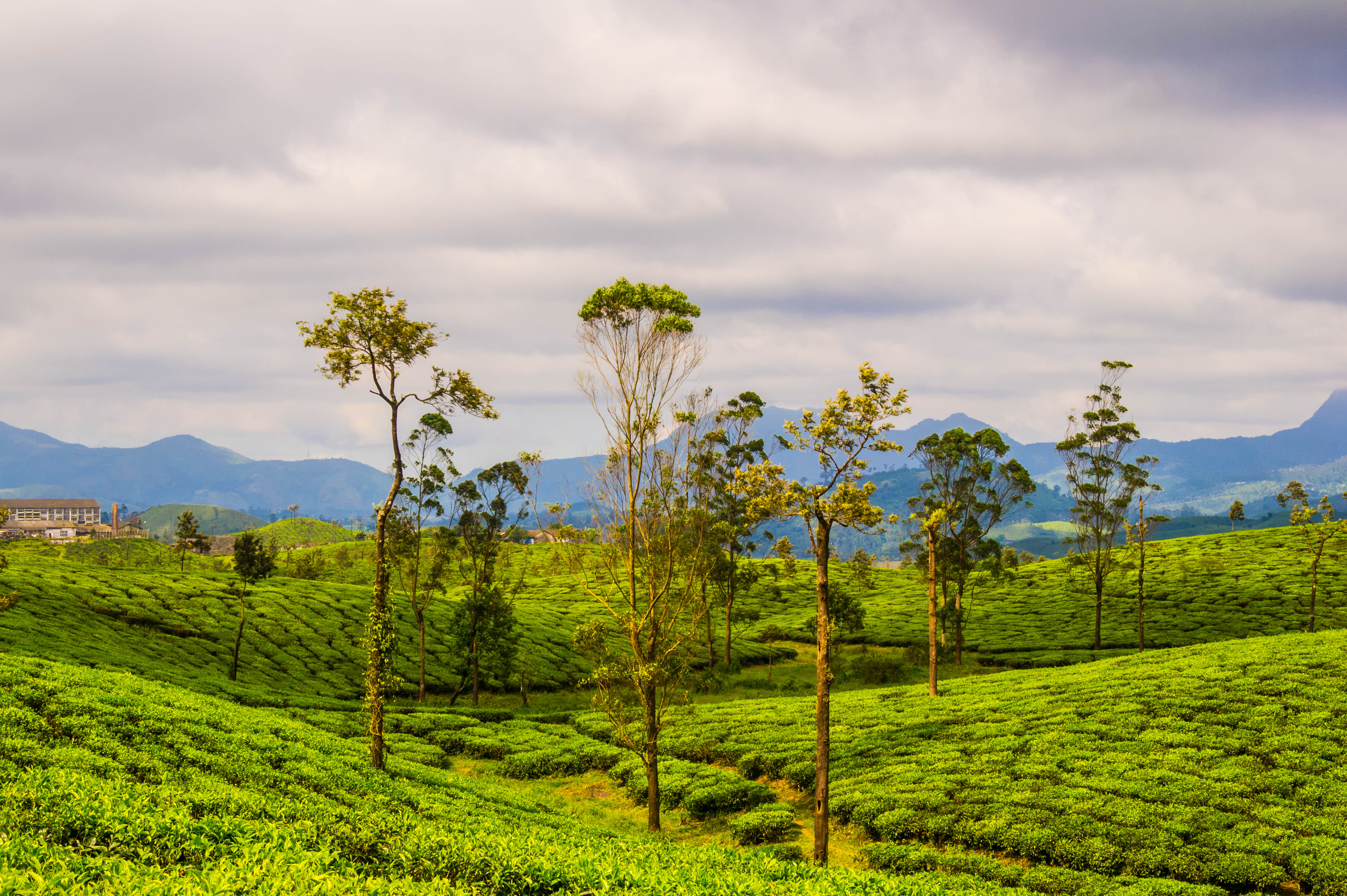 Tea plantations in Valparai by Thangaraj Kumaravel | Image license: CC BY 2.0 Deed
I have been to Valparai several times as a kid during summer vacations. It’s surreal and beautiful. My uncle’s place there used to be at the top of the hill, above the clouds itself. You won’t be able to see the road when it is cloudy. We used to play hide and seek in these gigantic guava trees. Or maybe they felt gigantic as I was a kid then. Trees were our targets because leopards were regular visitors and we were not “technically” allowed to go out of house plot.
Valparai hence was one of the places I always wanted to map due to cherished memories. Which is what I did. I have put in hours here to map detailed map features. Rekindling the memories while doing so were worth the time I have put into adding data here.
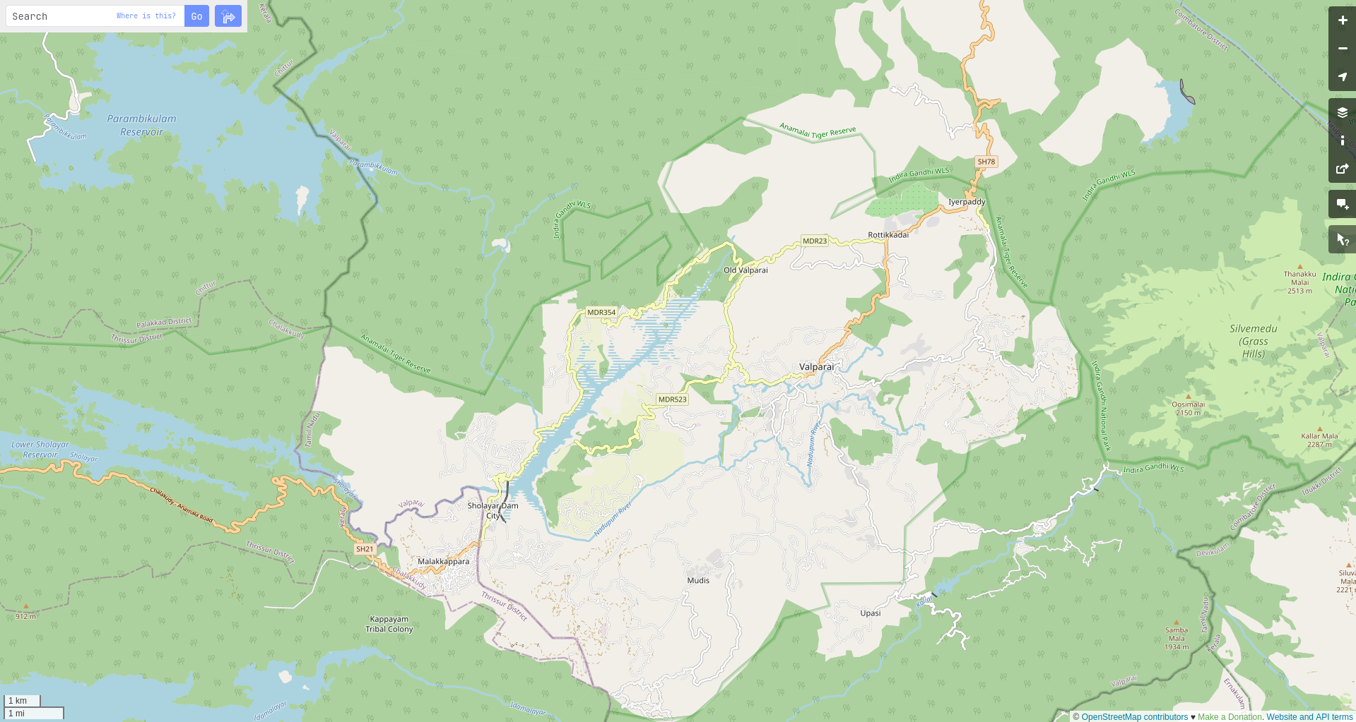 Screenshot of Valparai in openstreetmap.org
My edit
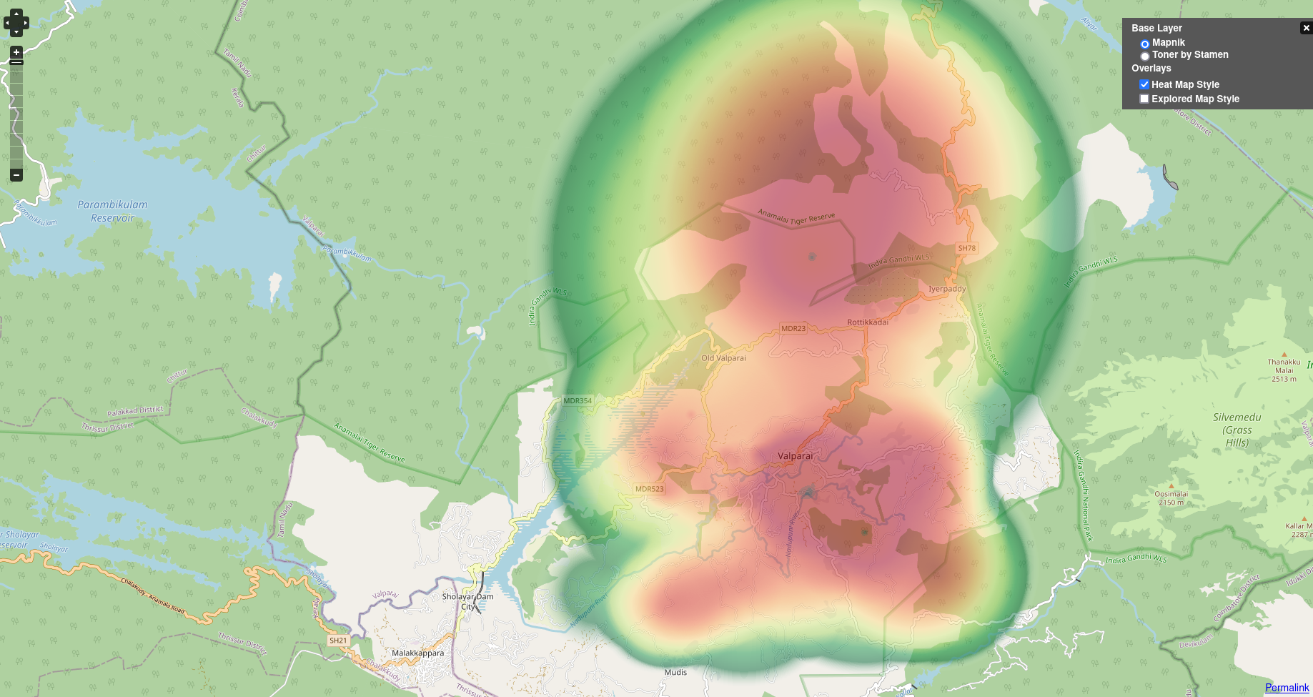 Screenshot of my edits on Valparai in openstreetmap.org
Pettineo, Sicilia, Italy
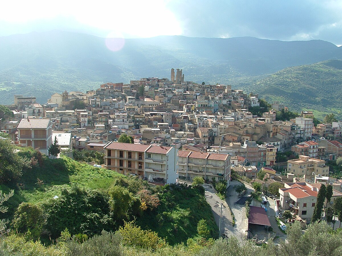 Image of Pettineo in Wikipedia
Image details: © LigaDue | License: CC BY-SA 3.0 Deed
I came across Pettineo, Sicilia thanks to end user feedback from Mapbox maps. Amazing place. At least from the satellite imagery, it was. To my surprise, it was not mapped at all when I looked at it in JOSM. The edit I did here was far far more grander than Valparai. Or that’s how I remember it. What I didn’t know was that JOSM somehow hadn’t loaded the data of the place. Almost 4ish hours or so of my time resulting in duplicated data as I realised I have mapped over the original data. My edit was extremely detailed over the original data as I recall it. But it did not connected to any data that was already present. Merging felt far more complex and I had to revert my edit.
After the initial panic and changeset revert, I did edit Pettineo again, it was not as large as my first edit since I didn’t have to map half of it. I was just relieved that I was able to fix it as soon as I messed up.
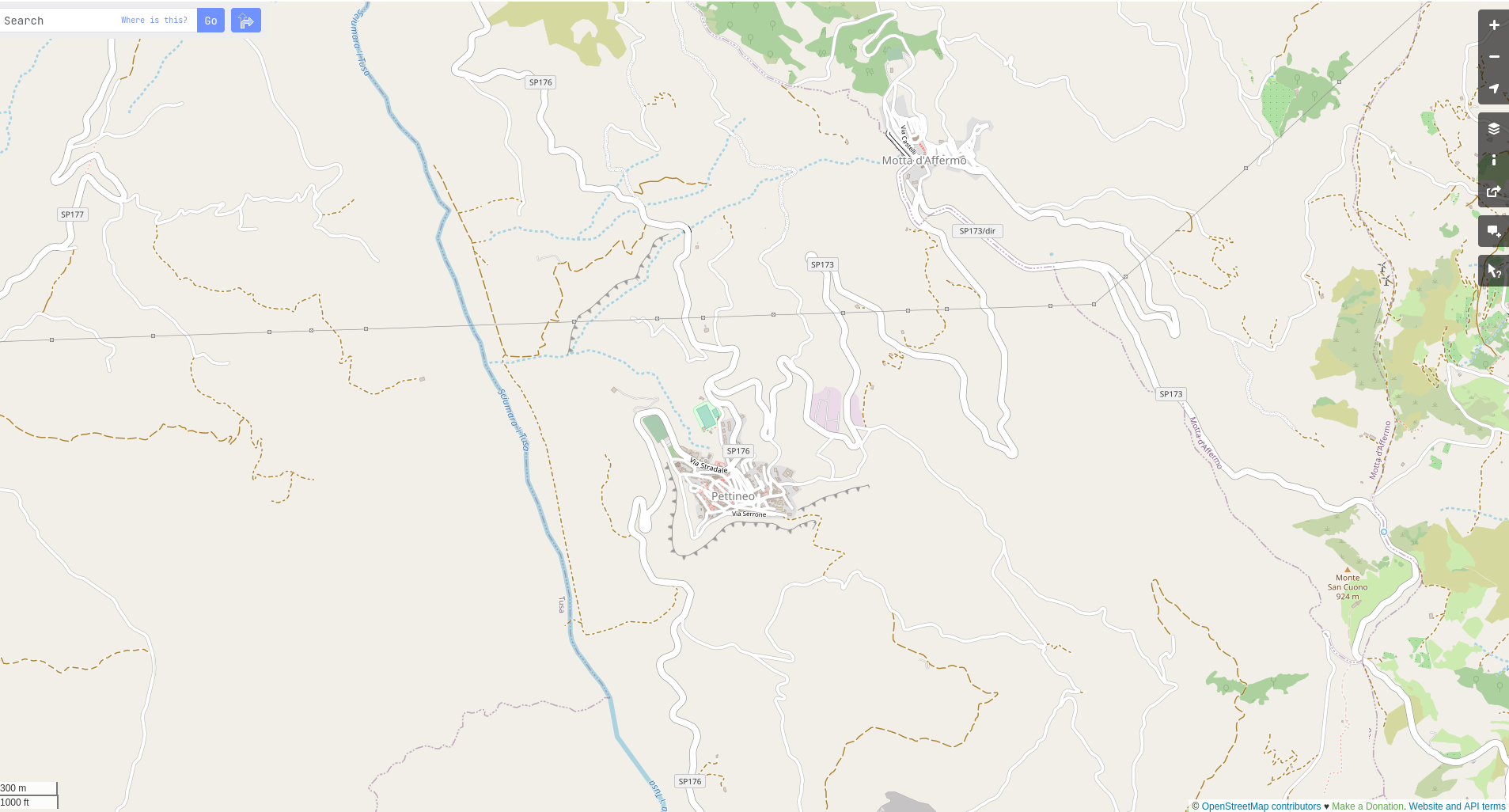 Screenshot of Pettineo in openstreetmap.org
My edit
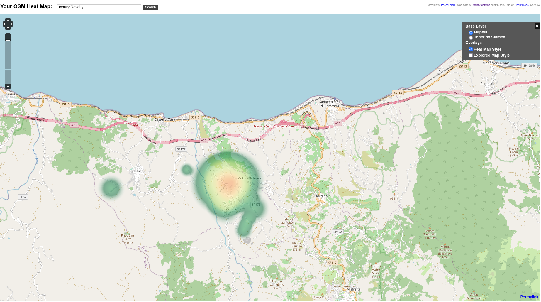 Screenshot of my edits on Pettineo in openstreetmap.org
Dierks Lake, Arkansas
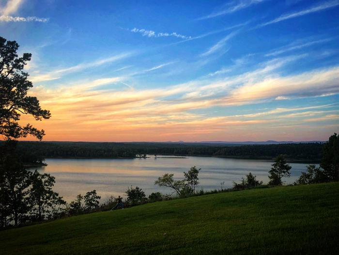 Dierks Lake, Arkansas, USA Image details: © Recreation.gov
Over the years, I have created a huge interest in natural features. Especially water bodies. It started with one of my first few edits where I added some of the swimming pools in Delhi which hosted most of the foreign embassies in India.
Dierks Lake, Arkansas came through work as well. It had only extremely bare geometry. Which I hate in a waterbody. Or anything natural. Whether it is a waterbody or a tree, they have distinct shape and geometry which should be celebrated. Editing the entire lake was around ~2ish hours of work IIRC. Dierks Lake’s mapping was the reason I became a fan of waterbody mapping. And hence has a sweet spot in my heart.
My edit
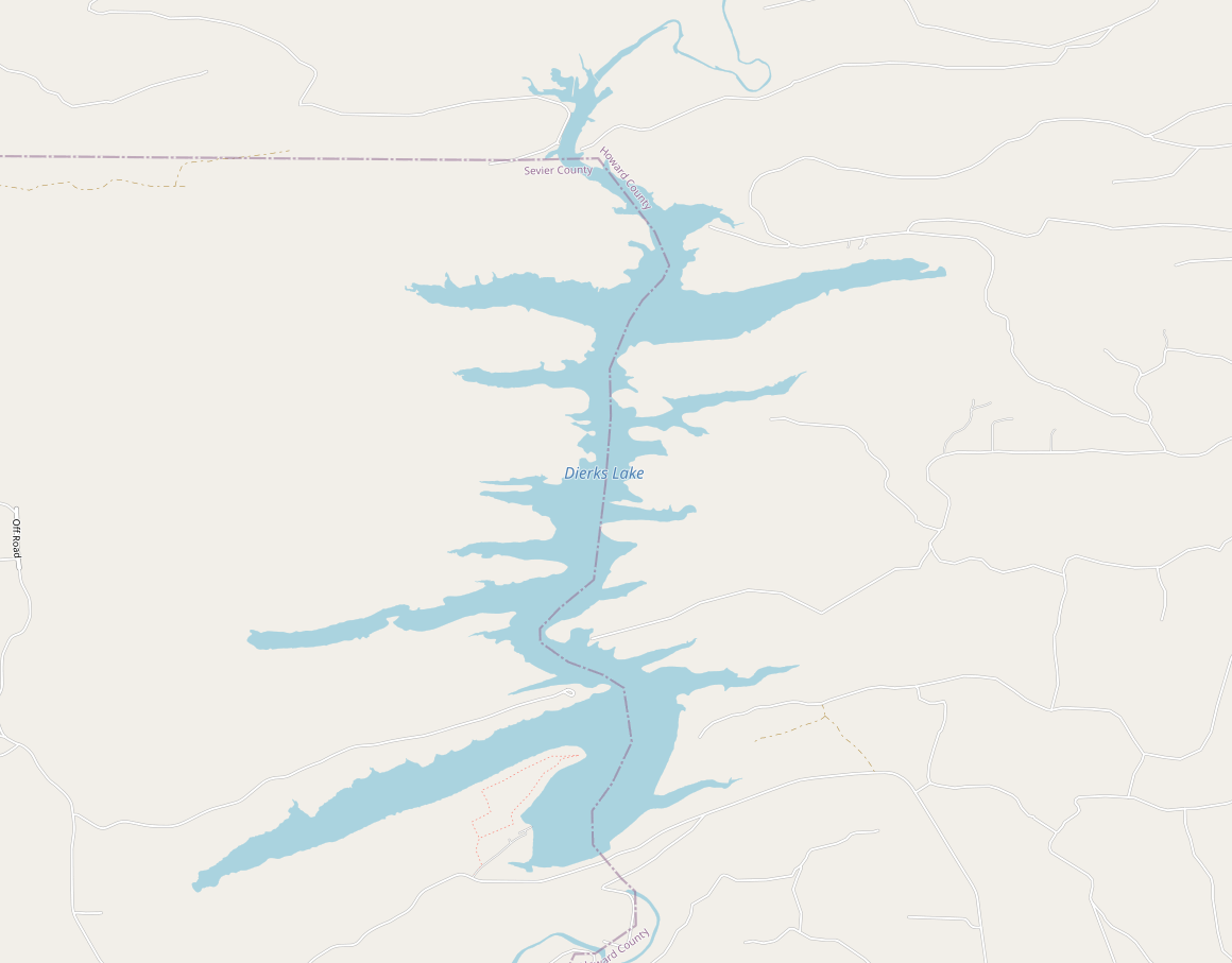 My edit on Dierks Lake, Arkansas, USA
## What’s next?
Once you have maps in your life, you will see it everywhere. Apart from some of the map related projects I have been working on, I wanna restart mapping in OSM. Especially natural features like forests, water bodies etc. Here is to creating more map memories.