
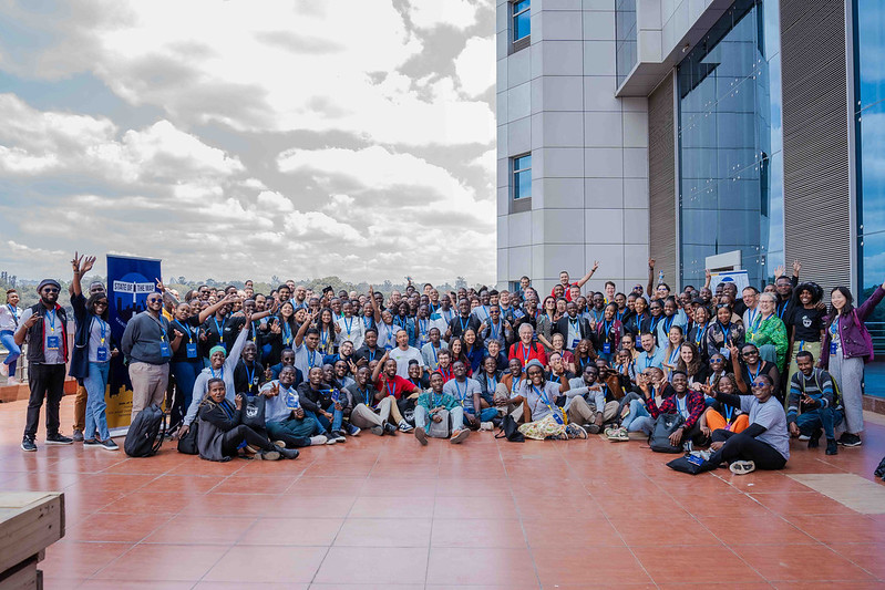
Participants SotM 2024, Nairobi, Kenya [] | © SotM 2024
Breaking news
- Next OSMF board meeting on Thursday 26 September 2024 at 13:30 UTC, unless rescheduled
- The OpenStreetMap.org website and mapping API will be read-only / partially unavailable on Thursday, 26 September, from 20:00 to 21:00 UTC due to server maintenance.
Mapping
- Darkonus outlined some optimal approaches to filling out the name:en tag for OSM objects in Ukraine.
- To enhance car routing in OpenStreetMap, Karussell has compiled a list of approximately 3,200 links in Germany that likely highlight tagging issues, such as overlapping roads or missing turn restrictions.
- Comments have been requested for:
- The proposal to replace the tag denomination=mormon with denomination=latter_day_saint is open for voting until Friday 27 September.
Community
- Anne-Karoline Distel has started an oral history project collecting people’s memories and stories about the holy wells of County Kilkenny, Ireland.
- Barefootstache has conducted a field mapping survey using FitoTrack and OsmAnd in Bavaria, Germany.
- Contrapunctus has released Hindi and English-language materials to boost OpenStreetMap awareness in India. They kicked off this project in the hopes of handing out printed guides to the folks who bombard them with questions during OSM field mapping surveys.
OpenStreetMap Foundation
- The 18th Annual General Meeting of the OpenStreetMap Foundation will be held online on Saturday 19 October at 16:00 UTC.
Local chapter news
- OpenStreetMap US announced that the US National Park Service is their newest Strategic Member, aiming to enhance open geospatial data to protect resources and improve visitor experiences across the national park system.
Events
- [1] Pictures from the State of the Map 2024 in Nairobi are now available on Flickr.
- Next year’s State of the Map will be held in Manila, Philippines.
- The State of the Map 2024 posters are available and show the diversity of applications of data from OpenStreetMap contributors and related programs.
- People have shared their experiences of participating in the State of the Map 2024:
- Ann Caroll delivered her presentation on the first day of SotM 2024, titled ‘Women in Tech: What Worked Best for Me’, and attended the social event at the Baobox.
- Erick Tamba attended the YouthMappers Pre-Event and Mapathon at the HOT Eastern and Southern Africa hub before the start of SotM 2024 (also, watch his vlog).
- Hills95 received a scholarship grant from HOT to attend his first-ever SotM.
- Ibtehal shared a group photo with fellow SotM participants.
- Johanes Peter ran a workshop on ‘Exporting High-Quality Atlas Maps in Bulk by Leveraging OpenStreetMap Data in QGIS’. They explored Nairobi while doing some on ground OSM data validation.
- Letwin Pondo met some of her OSM friends before the event, transforming their hotel room into a heartwarming reunion hub. She also delivered a lightning talk about Ladies in Maps Zimbabwe and presented an academic paper discussing the spatial distribution of fuel stations in Harare, Zimbabwe.
- The IVIDES.org is promoting a scientific seminar, to be held entirely online in Portuguese on 25 and 27 September, with the participation of scientists who acted during the critical phase of the 2024 Rio Grande do Sul floods, and the following mapathons in the region. Raquel Dezidério Souto tooted an invitation to this special occasion and thanked Wiki Apoia/Wiki Movimento Brasil, for their sponsorship.
Maps
- Christoph Hormann has written a series of articles addressing the design challenges in trying to consistently depict roads on OpenStreetMap-based maps. He has proposed a proof-of-concept solution, suggesting selective styling and adjustments to drawing order, based on geometric context rather than relying solely on feature attributes.
- Kuuya Niinobe has developed an OSM-based interactive map that shows the locations of vending machines at the University of Tsukuba, Japan.
OSM in action
- All Met Sat, a weather and satellite data service, is offering interactive world airport maps based on OpenStreetMap data. Each airport on these maps also includes detailed weather information.
- Borisfyi has developed ‘Meet.hn’, an interactive OSM-based world map for locating fellow Hacker News users near your city.
Software
- Branko Kokanovic described his tool ‘Maxspeed freshness‘. You can see if a maxspeed tag is present, and if it does how old it is! With it, you can have a nice overview of the state of maxspeed tags throughout the whole world. Use it to plan your next street-level capture adventure or find highways that need to be re-checked.
Programming
- PyGIS took a look at OSMnx, a Python module that can be used to retrieve, construct, analyse, and visualise street networks from OpenStreetMap, and can also retrieve data about points of interest (with Overpass queries), such as restaurants, schools, and lots of different kinds of services. The module is available on GitHub.
- Sujan Adhikari explained HOT’s ‘Field Mapping and Tasking Manager Splitter’ algorithm. This algorithm simplifies field mapping by breaking down areas of interest into smaller manageable tasks for mappers.
Releases
- Bryan Housel announced the release of Rapid v2.4, which includes numerous bug fixes and several new features, such as enhanced text localisation and improved handling of street-level imagery.
- The Arequipa Bus app, built by Trufi Association for the City of Arequipa, Peru (powered by OSM data), launched on 10 September and is available for Android and iOS. The municipality says that the app plays a significant role in promoting more sustainable, efficient, and above all, public transportation.
- GeoDesk has released new versions of its OpenStreetMap database toolkit. The Python edition adds support for Python 3.13 and for ARM-based Macs. The Java edition gained a simplified API for querying related OSM features.
- Sarah Hoffmann announced the release of Nominatim version 4.5.0, a transitional update in preparation for the upcoming Nominatim 5.0, which will be a purely Python-based application.
Did you know …
- … that OpenWhateverMap showcases several alternative OSM-based tile servers with various kinds of styles?
OSM in the media
- Radio France, the French national public radio broadcaster, highlighted the Panoramax project – an initiative by IGN and OSM France to gather geolocated street-level photographs contributed by citizens.
- Ralf Hersel, from gnulinux-ch, explained how to use uMap to create custom OSM-based maps.
- On Wikimedia Diff, the Wikimedia movement’s community blog, Sara Santamaria described the collaboration between Wikimedia and OSM communities during the recent Wiki Takes event, which was held at various archaeological sites across the Spanish provinces of Burgos and Segovia. This initiative aims to enhance the presence of these sites on Wikipedia by taking photos over several weekends and then uploading them to Wikimedia Commons and OpenStreetMap.
Other “geo” things
- Hans van der Kwast shared his impressions from the QGIS User Conference and Contributor Meeting 2024 in Bratislava, Slovakia.
Note:
If you like to see your event here, please put it into the OSM calendar. Only data which is there, will appear in weeklyOSM.
This weeklyOSM was produced by Aphaia_JP, PierZen, Raquel Dezidério Souto, Strubbl, TheSwavu, YoViajo, barefootstache, derFred, mcliquid, rtnf.
We welcome link suggestions for the next issue via this form and look forward to your contributions.