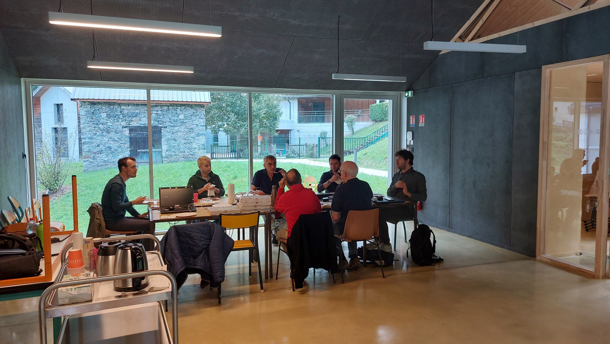
Mapping party Saint-Barthélemy-de-Séchilienne, France [] © Binnette
Mapping
- barefootstache explained the methodology of addition and division mapping with the example of natural and landuse areas.
- The research team from HeiGIT have compared the completeness of road data in OpenStreetMap with the road data in the Microsoft RoadDetections dataset.
Requests for comments have been made on these proposals:
- GTFS Tagging Standard for tagging data from a General Transit Feed Specification feed.
- Unification of post/parcel keys to unify the tags for handling parcels and postal services.
Voting is open on:
- highway=cyclist_waiting_aid, to map street furniture and devices for cyclists that are intended to make waiting more comfortable, until Tuesday 21 November.
- historic=millstone, to map a large round stone used for grinding grain, until Wednesday 29 November.
- The vote on highway=ladder has closed, with the proposal being approved with 20 votes for, 1 vote against, and 3 abstentions
Community
- Binnette reported on a mapping party in the Saint-Barthélemy-de-Séchilienne region of France. This event was supported by OpenStreetMap France and the mayor Gilles Strappazzon as the local government representative. You can find the full report on this event with lots of ‘before and after’ pictures on GitHub.
- dentonny was selected as OpenStreetMap Belgium’s Mapper of the Month.
- Probelnijs wondered why maps.me is well known while no one seems to know OpenStreetMap.
- Gladys Aguilar, a dedicated language teacher shaping urban mobility in Cochabamba, Bolivia, has been honored as the Trufi Association’s Volunteer of the Month.
Events
- Ilya Zverev released live coverage of the State of the Map EU 2023 event on his Telegram channel. One of the topics he covered was the OpenStreetMap community’s response to OvertureMaps’ presentation.
- Christian Quest, founding member of the French OpenStreetMap local chapter, introduced the Panoramax project during the State of the Map EU 2023 event. Panoramax is a decentralised and federated project to collect and share ground level imagery under open licences.
Education
- Students participating in live UN Mappers courses can obtain a Certificate of Completion, which recognises the skills acquired. Each student receives personal feedback on the OSM edits, which verifies the quality of the mapping. Courses are announced on UN Mappers social media channels and the courses (Basics and Advanced) can be accessed on the UN Maps Learning Hub at any time (although certification is currently only available for live courses).
Maps
The 30DayMapChallenge 2023 on Mastodon, LinkedIn, X, and BlueSky continues.
It is not possible to adequately acknowledge the multitude of outstanding works. The selection we make is purely random and not an evaluation. Please take a look at the works yourself. The hashtag #30DayMapChallenge will help you.
- Day 6: Asia
- Day 7: Navigation
- Day 8: Africa
- Day 9: Hexagons
- Day 10: North America
- Day 11: Retro
- Day 12: South America
- Juan Jose Iglesias reported that the OpenStreetMap Analytics service (osm-analytics.org) will soon be shut down. Users are advised to switch to a similar alternative service managed by HeiGIT.
- #geoObserver presented the Pathfinding project, which animates the process of routing on a map.
- Oliver Roick has calculated a rough estimate of the cost required to create a global tile server based on PMTiles, which is around $12 per month.
- Raquel Dezidério Souto coordinated the technical part of the second stage of the fifth Brazilian Cartographic Olympiad . There is a virtual exhibition of the participants’ maps on the theme Amazônia no Mapa (Amazon on the map).
- gislars tooted that the map showing the Berlin Christmas markets has been updated.
OSM in action
- Bldrwnsch is a map by Simon Legner based on OpenStreetMap, which shows objects from the German Wikipedia with an image request. The objects themselves are not part of OSM. Bldrwnsch is open source and uses Typescript and Python code.
- A free online course in English on public transport mapping has been launched by the Trufi Association and Mobility Hub.
Open Data
- Vikki released a collection of the open data sources that she has used while participating in the #30DayMapChallenge.
Software
- David Karlaš wrote about how to add additional buttons to the OpenStreetMap website using the Tampermonkey browser add-on.
Did you know …
- …that you can access a map of surveillance camera locations (man_made=surveillance) using the Surveillance under Surveillance web app?
Other “geo” things
- OpenCage has released a geo URI QR code generator. When the QR code is scanned the user’s default mapping application opens to the encoded coordinates.
- The jigsaw puzzle of an OpenStreetMap map of the Belgian territory, featured at the State of the Map Europe 2023 event, has been successfully completed.
This weeklyOSM was produced by Elizabete, MatthiasMatthias, Michael Montani, PierZen, Strubbl, Ted Johnson, TheSwavu, barefootstache, derFred, rtnf.
We welcome link suggestions for the next issue via this form and look forward to your contributions.